Hiking Trails in the Great Smoky Mountains
Hundreds of miles of trail, and the ones nearest the parking lot are the ones everybody walks. Here's what our team recommends — short waterfall hikes for a morning, longer climbs for a real day out, and where to go when the popular trailheads are full by nine.
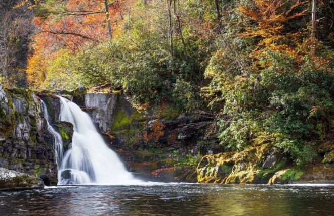
Abram Falls
A five-mile round-trip hike along Abrams Creek in Cades Cove to one of the most powerful waterfalls in the Great Smoky Mountains.
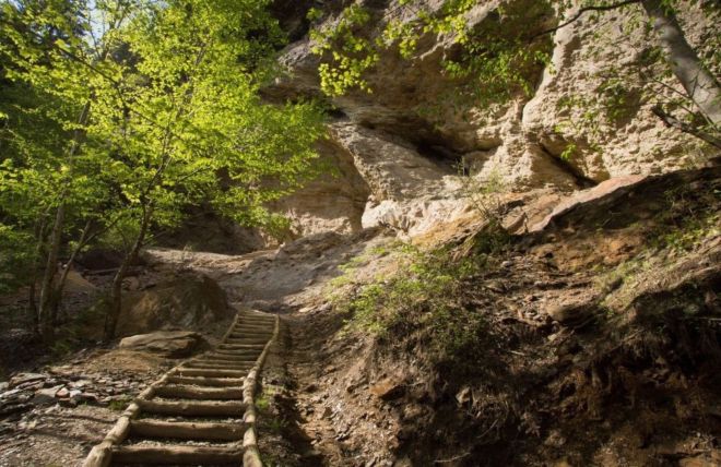
Alum Cave
A favorite Smoky Mountain hike off Newfound Gap Road, passing Arch Rock and Inspiration Point on the way to the towering Alum Cave Bluffs.
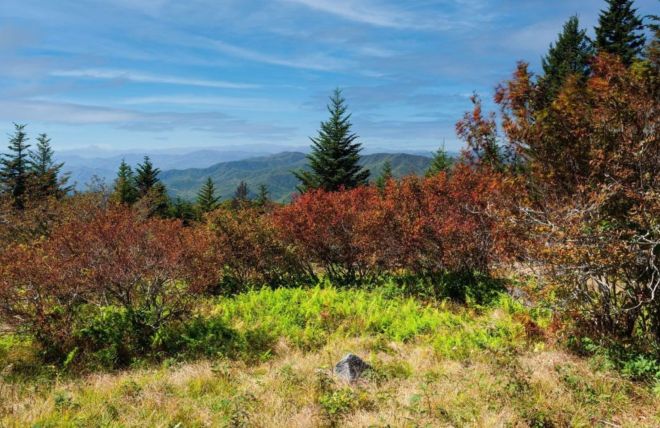
Andrews Bald
An open meadow at 5,920 feet, under four miles round trip — but the climb is on the way back. Late June brings flame azalea in full bloom.
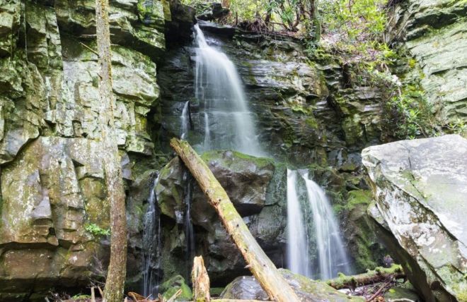
Baskins Creek Falls
A quieter waterfall hike off the Roaring Fork Motor Nature Trail, leading to a two-tier, 40-foot cascade just minutes from downtown Gatlinburg.
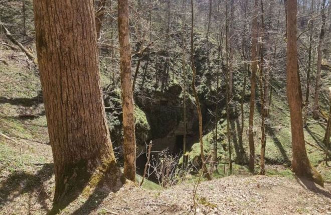
Beard Cane Trail
No road access at either end — a genuine backcountry trail through remote forest, old homestead traces, and real solitude. Not a day hike.
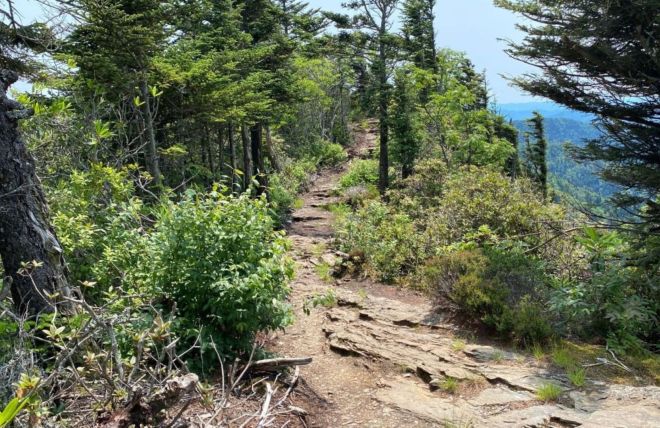
Boulevard Trail
Sixteen miles, never below 5,000 feet, with views into two states most of the way — the longest and most scenic route to LeConte's summit.
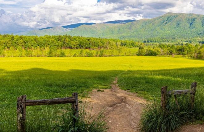
Cades Cove Nature Trail
A short, flat loop off the one-way Cades Cove road — miss the pull-off and you're committed to the full eleven miles before you can turn back.
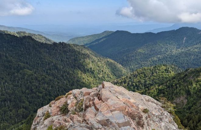
Charlies Bunion
Eight miles round trip from Newfound Gap to a narrow rock outcrop with sheer, unfenced drop-offs — the day hike regulars recommend first.
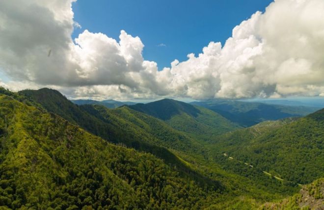
Chimney Tops
A steep, rewarding Smokies hike off Newfound Gap Road, climbing to an observation point with close-up views of the Chimney Tops pinnacles and Mount LeConte.
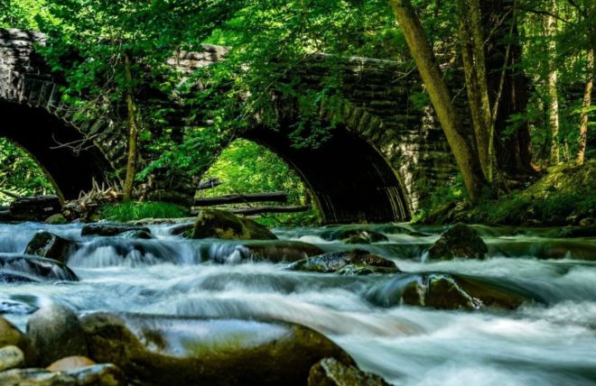
Elkmont
An easy, family-friendly loop near Elkmont Campground that follows an old logging railroad and tells the story of how the forest came back.
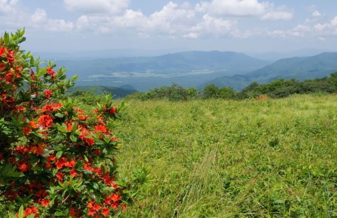
Gregory Bald
A challenging hike from Cades Cove to a grassy mountaintop meadow with sweeping views and one of the Smokies' most famous flame azalea displays.
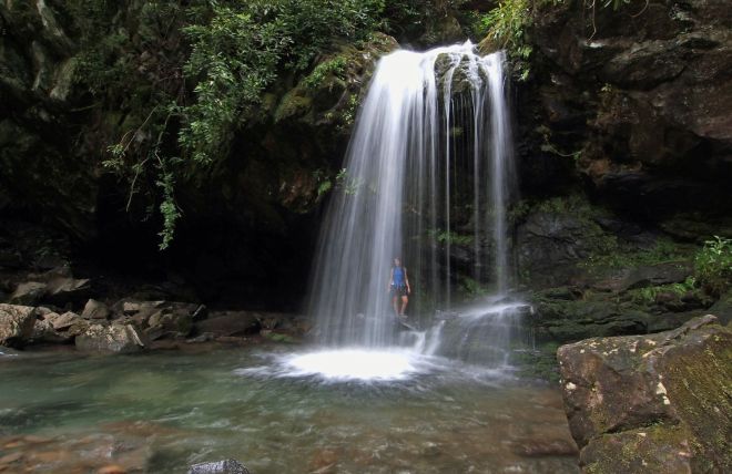
Grotto Falls
A family-friendly 2.6-mile round trip on the Trillium Gap Trail to the only waterfall in the Smokies you can walk behind.
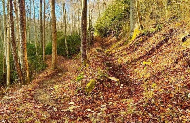
Jakes Creek Trail
A quiet Elkmont hike that starts among historic summer cottages, passes the Avent Cabin, and climbs through hardwood forest to Jakes Gap.
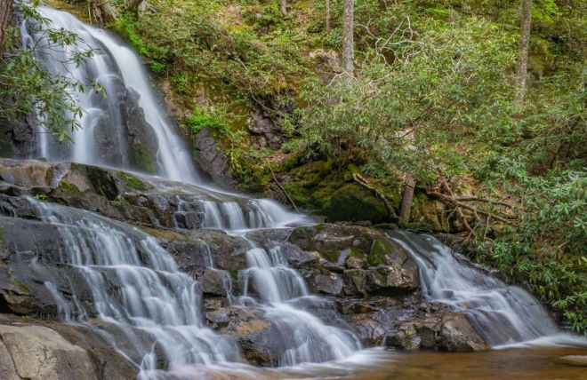
Laurel Falls
An 80-foot, two-tier waterfall on one of the Smokies' most popular trails, a 2.6-mile round trip just minutes from Gatlinburg.
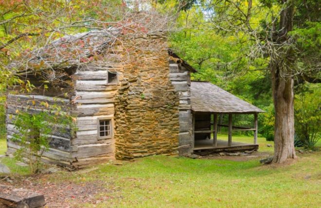
Little Brier Gap Trail
An easy, history-filled walk from the 1882 Little Greenbrier School to the homestead where the five Walker sisters kept the old mountain ways alive.
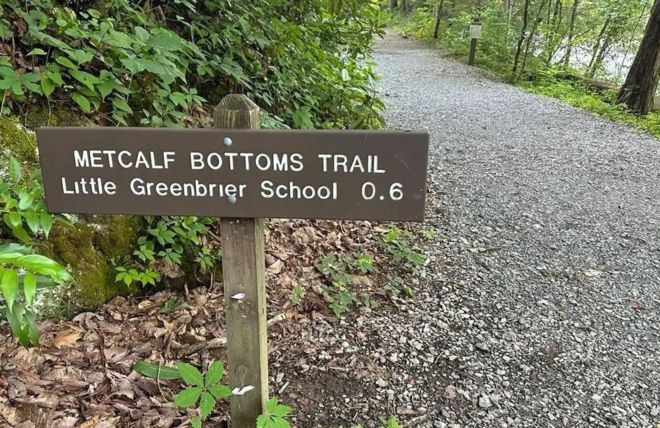
Metcalf Bottoms Trail
A short, easy walk from the riverside Metcalf Bottoms Picnic Area to the historic 1882 Little Greenbrier School, with the Walker Sisters Cabin just beyond.
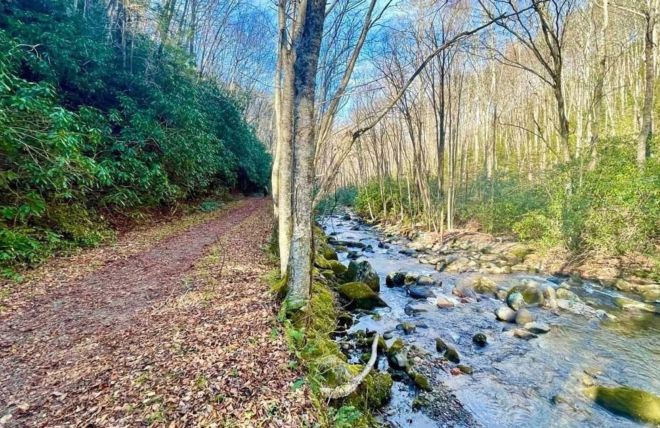
Middle Prong Trail
An easy-grade riverside hike from Tremont along an old logging railroad, with roaring cascades, a rusting 1930s car, and a hidden three-tier waterfall.
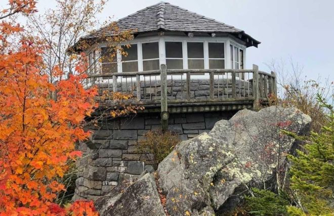
Mount Cammerer Trail
A strenuous hike from Cosby to a restored 1930s stone fire tower perched on a rocky summit, with some of the widest views in the Smokies.
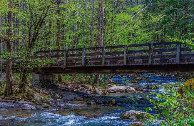
Porters Creek Trail
A creekside Greenbrier hike past an 1875 barn and old homesites to 40-foot Fern Branch Falls, famous for its spring wildflowers.
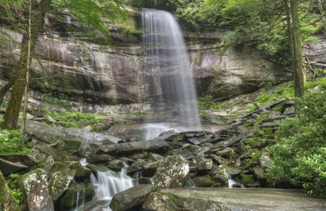
Rainbow Falls
A steady 5.6-mile round-trip climb from Gatlinburg to an 80-foot waterfall, the highest single drop in the Smokies, where afternoon sun paints rainbows in the mist.
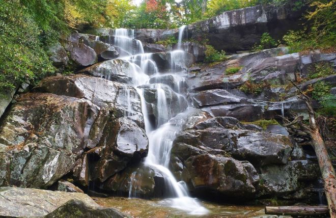
Ramsey Cascades
A strenuous 8-mile round trip through old-growth forest to Ramsey Cascades, the tallest waterfall you can hike to in the Great Smoky Mountains.
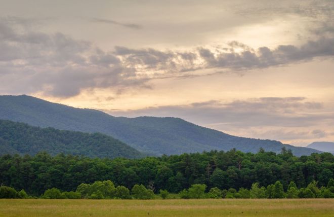
Rich Mountain Loop
A full-day loop from the entrance to Cades Cove, passing the historic John Oliver Cabin and climbing Rich Mountain through quiet forest.
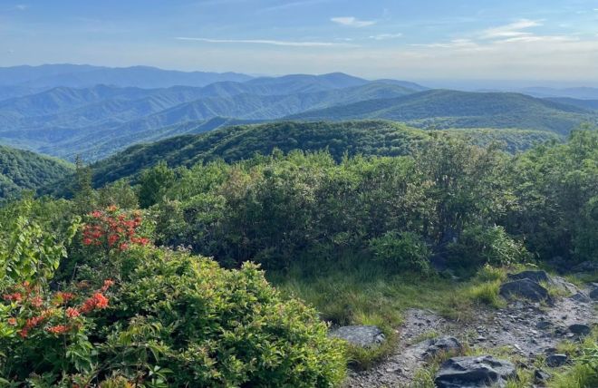
Rocky Top Trail
A strenuous day hike from Cades Cove to the famous rocky summit on the Appalachian Trail, with 360-degree views across Tennessee and North Carolina.
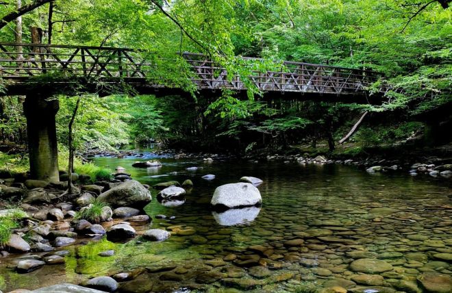
The Gatlinburg Trail
An easy riverside walk between Sugarlands Visitor Center and downtown Gatlinburg, and one of only two trails in the Smokies where dogs and bikes are welcome.
Hiking in the Smoky Mountains
Great Smoky Mountains National Park has more than 800 miles of hiking trails, and many of the trailheads are a short drive from Gatlinburg. You can choose a flat riverside walk, a waterfall hike for the morning, or a full-day climb to a mountain summit. Below are the hikes our team recommends, grouped by how much of a challenge you're looking for. Distances are round trip.
Easy hikes
Gatlinburg Trail · about 4 miles
A mostly easy walk along the river from the edge of downtown Gatlinburg to the Sugarlands Visitor Center. It's one of only two trails in the park where dogs and bikes are allowed.
Laurel Falls · about 2.6 miles
A partly paved trail to an 80-foot, two-tiered waterfall off Little River Road. It's popular and busy, so go early. The trail has had periodic closures for repairs, so check its status before you go.
Cades Cove Nature Trail · about 1.4 miles
A short, flat loop off the Cades Cove road, an easy add-on to a drive around the cove.
Elkmont Nature Trail · about 0.7 miles
A short self-guided loop near Elkmont Campground that follows an old logging railroad, with numbered stops that kids love.
Metcalf Bottoms Trail · about 1.2 miles
An easy walk from the riverside Metcalf Bottoms Picnic Area to the Little Greenbrier School, a log schoolhouse built in 1882.
Little Brier Gap · about 2.6 miles
A gentle hike from the Little Greenbrier School to the historic Walker Sisters Cabin, a window into Appalachian mountain life.
Hiking with kids? See our guide to kid-friendly hikes.
Moderate hikes
Grotto Falls · about 2.6 miles
A walk through old forest off the Roaring Fork Motor Nature Trail to a waterfall you can walk behind. The road is seasonal, so the trailhead is reachable from spring through fall.
Baskins Creek Falls · about 3 miles
A quieter Roaring Fork hike to a two-tier, 40-foot waterfall, with a steep side path down to the falls.
Alum Cave · about 4.6 miles to Alum Cave Bluffs
Off Newfound Gap Road, this trail passes Arch Rock and Inspiration Point on the way to a massive overhanging bluff. It continues on to Mount LeConte for hikers who want the full climb.
Abrams Falls · about 5 miles
A hike from the Cades Cove loop to a wide, powerful waterfall. The pool looks inviting, but the currents are dangerous, so don't swim.
Chimney Tops · about 3.5 to 4 miles
A short but very steep climb to an observation point with views of the Chimney Tops pinnacles. The final summit has been closed since the 2016 fire.
Andrews Bald · about 3.5 miles
From the Kuwohi parking area to a high, open meadow with wide views. Flame azaleas bloom here in late June.
Porters Creek · about 4 miles
A creekside trail in the Greenbrier area, known for spring wildflowers, the 1875 Messer barn, and 40-foot Fern Branch Falls.
Middle Prong Trail · up to about 8 miles
A gentle railroad-grade trail from Tremont past roaring cascades and a rusting 1930s car to Indian Flats Falls. Turn around whenever you like.
Jakes Creek Trail · up to about 7.4 miles
A quiet Elkmont hike that starts among historic summer cottages, passes the Avent Cabin, and climbs steadily to Jakes Gap.
Challenging hikes
Charlies Bunion · about 8 miles
An Appalachian Trail hike from Newfound Gap to a rocky outcrop with sweeping views and steep, unfenced drop-offs.
Rainbow Falls · about 5.6 miles
A steady climb to an 80-foot waterfall, the highest single drop in the Smokies, that can throw a rainbow in the afternoon sun.
Ramsey Cascades · about 8 miles
A strenuous Greenbrier hike through old-growth forest to a 100-foot cascade, the tallest waterfall you can hike to in the park.
Rich Mountain Loop · about 8.5 miles
A loop from the entrance to Cades Cove that passes the historic John Oliver Cabin and climbs Rich Mountain, with views over the cove when the leaves are down.
Gregory Bald · about 11 miles
A long climb from Cades Cove to a grassy summit meadow famous for its June flame azaleas and wide views.
Mount Cammerer · about 11 miles
A strenuous hike from Cosby via Low Gap and the Appalachian Trail to a restored 1930s stone fire tower with 360-degree views.
Rocky Top · about 12 to 13 miles
A long, steep climb from Cades Cove to the open summit that shares its name with the famous song.
Mount LeConte · at least 11 miles
Every route to the top of Mount LeConte is a long climb, including Alum Cave, Rainbow Falls, Trillium Gap, Bullhead, and the Boulevard Trail, which runs about 16 miles round trip from Newfound Gap.
Beard Cane Trail · backcountry
A remote trail with no road access at either end, for experienced backpackers planning an overnight trip.
Waterfall hikes
Many of the park's most popular hikes end at a waterfall, including Laurel Falls, Grotto Falls, Abrams Falls, Rainbow Falls, and Ramsey Cascades. See our full guide to waterfall hikes, and our guide to the best hiking trails in Cades Cove.
Tips for hiking in the Smokies
Get a parking tag — you need one to park at any trailhead for more than 15 minutes. Buy it online or at the Sugarlands Visitor Center.
Start early — popular trailhead lots fill by mid-morning, especially on weekends and in summer and fall.
Check trail conditions — trails and roads can close for repairs, weather, or bear activity. Check the National Park Service website first.
Pack layers and water — it's cooler at higher elevations, and weather changes quickly. See our guide to Smoky Mountain elevations.
Stay off wet rocks — rocks near waterfalls are slippery, and falls are a leading cause of injuries in the park.
Know bear safety — stay at least 50 yards from bears and never feed them. See our black bears guide.
Leave dogs at the cabin — pets aren't allowed on most park trails, except the Gatlinburg Trail and the Oconaluftee River Trail.
Frequently asked questions
What are some easy hikes near Gatlinburg?
The Gatlinburg Trail, Laurel Falls, the Elkmont Nature Trail, and the Cades Cove Nature Trail are all easy and family-friendly.
Do I need a parking tag to hike?
Yes. You need a parking tag to park at a trailhead for more than 15 minutes. There's no entrance fee to the park itself.
Can I bring my dog on the trails?
Only on the Gatlinburg Trail and the Oconaluftee River Trail. Dogs aren't allowed on other park trails.
Which trail has a waterfall you can walk behind?
Grotto Falls, off the Roaring Fork Motor Nature Trail.
What is the tallest waterfall you can hike to?
Ramsey Cascades, at about 100 feet. Rainbow Falls, at about 80 feet, is the highest single drop.
How do I get to the top of Mount LeConte?
By hiking. Every trail to the summit is at least 11 miles round trip, and Alum Cave is the most popular route.
When should I start a hike?
Early in the morning, especially on weekends and in summer and fall, before trailhead parking fills.
Stay close to the trailheads with our Gatlinburg cabins, or try our Wears Valley cabins for easy access to Cades Cove and the Little River area. Bringing the dog? Our pet-friendly cabins welcome them too. Browse all of our Smoky Mountain cabins. Book direct and the Stay & Play Pass includes free attraction tickets for every paid night.