Rich Mountain Loop
Cades Cove · 8.5-mile loop, moderate
The one trail that shows you Cades Cove from above rather than through a car window — a climb to the ridge, a traverse with the whole cove below, and a loop back to where you started. The John Oliver cabin, the oldest in the cove, sits a mile and a half in if you only want the short version. Watch for the trailhead at the very beginning of the loop road: the road is one-way, so missing it means driving all eleven miles before you get another chance.
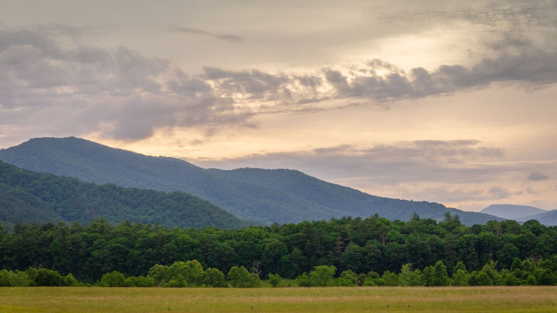
The Rich Mountain Loop combines three trails into one of the most satisfying day hikes in Cades Cove. It starts right at the entrance to the cove, passes one of its oldest log cabins, and climbs through quiet forest along Rich Mountain before dropping back down to where you started.
It's a great choice for hikers who want a real workout and a bit of history, away from the slow-moving traffic on the Cades Cove Loop Road. And because the trailhead sits before the one-way loop begins, you don't have to drive the whole loop to get there.
Rich Mountain Loop at a glance
Climb: about 1,700 to 1,800 feet
Time: four to six hours
Difficulty: moderate to strenuous
Trails: Rich Mountain Loop, Indian Grave Gap, and Crooked Arm Ridge
Trailhead: entrance to Cades Cove, on Laurel Creek Road
Pets: not allowed on this trail
Finding the Rich Mountain Loop trailhead
The trailhead is at the entrance to Cades Cove. From the Townsend Y, follow Laurel Creek Road toward the cove. Just before the one-way Cades Cove Loop Road begins, look for the parking area on the left. The trail starts a short walk ahead, across the road.
Arrive early — Cades Cove is one of the busiest areas in the park, and parking near the entrance fills on nice days.
Bring a parking tag — a national park parking tag is required for any vehicle parked longer than fifteen minutes. See our guide to where to buy a Smokies parking pass.
Check the road — the trail closes when Laurel Creek Road is closed between the Townsend Y and Cades Cove. Check the national park's road status before you go.
Hiking the loop
Rich Mountain Loop Trail and the John Oliver Cabin
Many hikers start on the Rich Mountain Loop Trail, which crosses open fields and follows the edge of the cove. About 1.4 miles in, you'll reach the John Oliver Cabin. John Oliver arrived in Cades Cove in 1818, and his log cabin is one of the oldest in the cove, a reminder of the first families who settled this valley.
Climbing Rich Mountain
Past the cabin, the trail climbs steadily to the junction with the Indian Grave Gap Trail. Here you'll follow the ridge of Rich Mountain through quiet hardwood and pine forest. The high point of the hike is near Cerulean Knob, about 3,700 feet up. Trees block most of the views in summer, but in late fall and winter you'll catch glimpses of Cades Cove and the surrounding ridges.
Down Crooked Arm Ridge
The loop finishes on the Crooked Arm Ridge Trail, which drops steeply back toward the cove. Near the bottom, look for Crooked Arm Cascade, a small waterfall that's at its best after rain. The trail rejoins the Rich Mountain Loop Trail just a short walk from the parking area.
Tips for your hike
Plan a full day — most hikers need four to six hours. Start early so you have plenty of daylight.
Wear sturdy shoes — the climb is steady and Crooked Arm Ridge is steep and rocky on the way down.
Carry water and snacks — there are no services along the trail.
Watch for wildlife — deer, wild turkeys, and black bears live in and around Cades Cove. Give every animal plenty of space and never feed them.
Plan overnight trips ahead — camping at backcountry sites along Rich Mountain requires a park permit.
Best time to hike Rich Mountain Loop
Spring — wildflowers bloom along the trail and Crooked Arm Cascade runs strong.
Summer — the shady ridge keeps things comfortable, but start early to beat the heat.
Fall — colorful leaves, cooler temperatures, and better views as the leaves drop. Plan a leaf-season trip with our fall cabin rentals.
Winter — the bare trees open up the best views of the cove from Rich Mountain. Check trail and road conditions first.
More to explore in Cades Cove
Make the most of your trip to the cove. Our guide to the must-see sights along the Cades Cove Loop covers the historic cabins, churches, and best spots to see wildlife. Abrams Falls is one of the park's most powerful waterfalls, and the long hike to Gregory Bald is famous for its June azaleas. Nearby Tremont is home to the Middle Prong Trail. Browse all our Smoky Mountain hiking trails for more ideas.
Frequently asked questions
How long is the Rich Mountain Loop?
About 8.5 miles as a full loop.
Where does the Rich Mountain Loop start?
At the entrance to Cades Cove, from the parking area on Laurel Creek Road just before the one-way Cades Cove Loop Road begins.
How hard is the Rich Mountain Loop?
It's moderate to strenuous, with about 1,700 to 1,800 feet of climbing and a steep section on Crooked Arm Ridge.
Can I see the John Oliver Cabin on this hike?
Yes. The cabin is about 1.4 miles along the Rich Mountain Loop Trail. It's one of the oldest cabins in Cades Cove.
Are there good views on Rich Mountain?
Trees block most views in summer. Late fall and winter offer the best looks at Cades Cove from the ridge.
Can I bring my dog?
No. Dogs aren't allowed on Rich Mountain Loop trails or most other trails in the national park.
Cades Cove is an easy drive from our Wears Valley cabins, so you can be at the trailhead early. Our cabins near Cades Cove and Wears Valley cabins put you close to this quiet side of the park, and our mountain view cabins keep the scenery going after the hike. Rest tired legs in one of our hot tub cabins, and if the dog is coming along, our pet-friendly cabins welcome them too.