Waterfall Hikes in the Smoky Mountains
Five waterfall hikes, from a paved walk that suits most families to a strenuous climb most people underestimate — including the only one in the park you can walk behind.
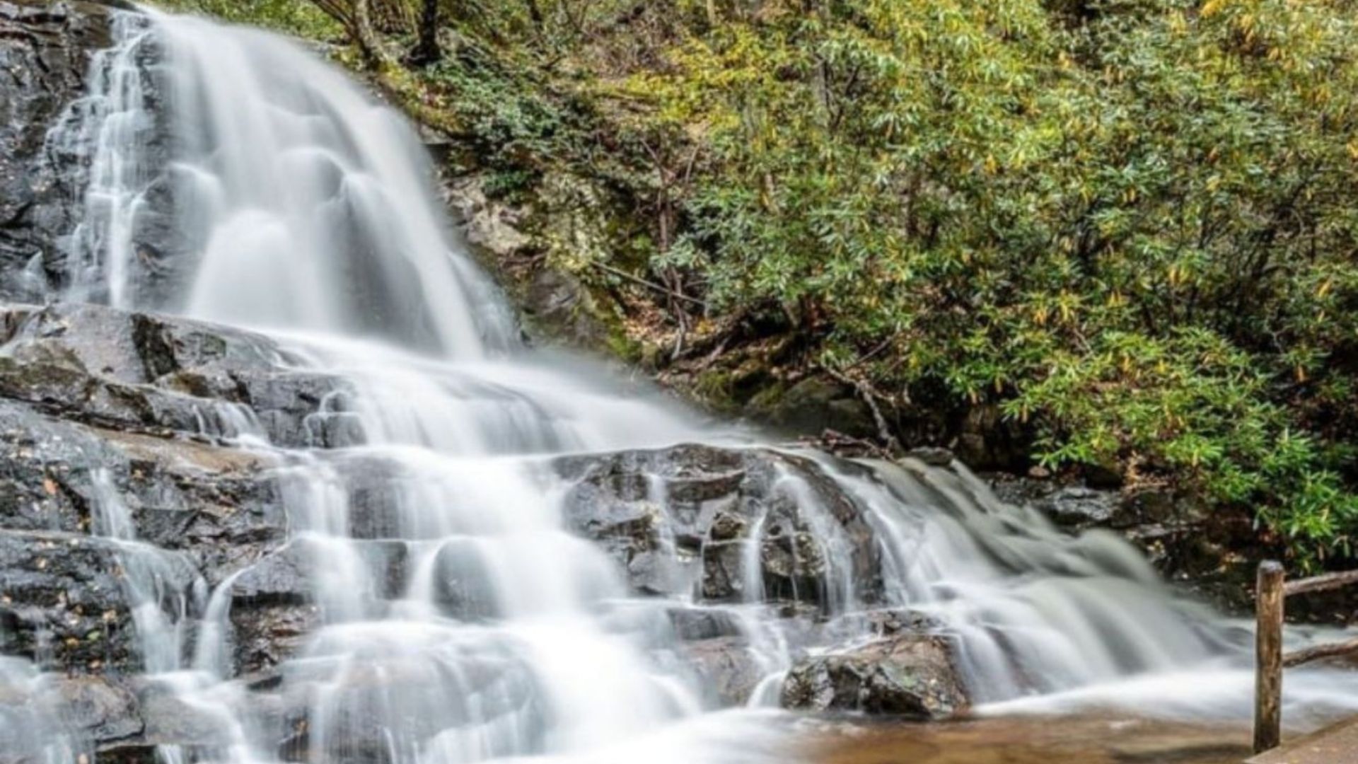
Five waterfall hikes, from a paved walk that suits most families to a strenuous climb most people underestimate.
All of them end at moving water, which is the appeal and also the thing to be careful about. Here's what each one asks of you.
More visitors are injured or killed at Smoky Mountain waterfalls than almost anywhere else in the park. Two reasons: wet rock is far more slippery than it looks, and the pools below falls hold currents that aren't visible from the bank.
Don't climb on rocks beside or above a waterfall. Don't swim in the pools. Keep children within arm's reach at every one of these, and treat the "just one photo from that rock" impulse as the thing that gets people killed — because it is.
Compare the five
| Waterfall | Round trip | Effort |
|---|---|---|
| Laurel Falls | 2.6 mi | Easy, paved |
| Grotto Falls | 2.6 mi | Easy to moderate |
| Hen Wallow Falls | 4.4 mi | Moderate |
| Abrams Falls | 5 mi | Moderate |
| Rainbow Falls | 5.4 mi | Strenuous |
A parking tag is required at every trailhead for stays over fifteen minutes — buy at recreation.gov. Lots fill by mid-morning in peak season, so early starts solve two problems at once.
Laurel Falls
2.6 miles round trip · Paved · 80-foot falls · Little River Road
The most popular waterfall walk in the park, and the easiest. Paved for most of its length with a gradual climb, ending at an eighty-foot falls split into upper and lower sections by a footbridge.
Not a stroller trail, despite the pavement. The asphalt is cracked and uneven in places and there are unfenced drop-offs along the edge — the Park Service advises against strollers. A carrier works better with a small child.
Check current trail status before you go; this one has seen rehabilitation work in recent years. More easy options on our kid-friendly hikes page.
Grotto Falls
2.6 miles round trip · Moderate · 25-foot falls · Roaring Fork
The only waterfall in the park you can walk behind, which is what makes it worth choosing over the others. The trail passes under the overhang and out the far side.
Reached from the Roaring Fork Motor Nature Trail, which is closed in winter — so this is a spring-to-autumn hike. The route runs through cool hemlock forest and the mist off the falls is genuinely refreshing in August.
It's also the llama supply route to the summit lodge on Mount Le Conte, so you may meet a llama train.
Hen Wallow Falls
4.4 miles round trip · Moderate · 90-foot cascade · Cosby
The quiet one. It starts from the Gabes Mountain trailhead in the Cosby area and sees a fraction of the traffic on the others — hemlock and rhododendron the whole way, with a tall cascade tumbling down a rock face at the end.
Best after rain, when the flow is strong. Note that Cosby is around forty-five minutes from Gatlinburg, further out than the others here, so build a day around it.
Abrams Falls
5 miles round trip · Moderate · 20-foot falls · Cades Cove
Short in height and enormous in volume — the whole of Abrams Creek drops through a narrow gap into a deep pool. It's the most powerful waterfall on this list.
The volume of water creates a strong undertow that isn't visible from the bank. People have drowned here, including capable swimmers, and the rocks around the pool are slick.
Look at it from the bank and keep children back.
The trail is rockier and more uneven than the mileage suggests, with several ups and downs. Allow three to four hours. It starts from the Cades Cove loop road, which means you'll be driving the one-way loop to reach it — go early.
Rainbow Falls
5.4 miles round trip · Strenuous · 80-foot single drop · Cherokee Orchard Road
The highest single-drop waterfall in the park, and the hardest hike here. Steady climbing over rocky ground the whole way — people routinely underestimate it based on the distance alone.
The name comes from the rainbow that appears in the mist on sunny afternoons. In deep winter it sometimes freezes into a column of ice, which is spectacular and also when the trail is at its most treacherous.
The trailhead is on Cherokee Orchard Road, on the way to the Roaring Fork loop from Gatlinburg.
Which should you pick?
- With young children — Laurel Falls, with a carrier rather than a stroller
- Something memorable without much effort — Grotto Falls, for the walk behind the water
- Avoiding crowds — Hen Wallow, comfortably
- Most impressive water — Abrams Falls, by volume
- A real workout — Rainbow Falls
- No hiking at all — The Sinks on Little River Road is steps from the parking area, though it's strictly a look-don't-touch stop
Frequently asked questions
Which waterfall hike is easiest?
Laurel Falls — 2.6 miles, paved, gradual. Grotto Falls is the same distance on dirt and only slightly harder.
Can I take a stroller on Laurel Falls?
The Park Service advises against it. The pavement is cracked and uneven and there are unfenced drop-offs. Use a carrier.
Can I swim at any of them?
No. The pools below these falls hold currents you can't see, and there have been drownings. If you want water to swim in, a cabin creek or private pool is the safe version.
Which one can I walk behind?
Grotto Falls, the only one in the park. It's off the Roaring Fork Motor Nature Trail, which closes for winter.
Do I need a parking pass?
Yes, at every trailhead, for stays over fifteen minutes. Buy in advance at recreation.gov.
When's the best time to go?
After rain, when the flow is strongest. Spring for wildflowers alongside, autumn for the colour and the coolest hiking weather.
Can I bring my dog?
No — dogs aren't permitted on any of these trails. Only two trails in the park allow them. See our pet-friendly cabins.
Which is hardest?
Rainbow Falls, by a clear margin. The 5.4 miles involves sustained climbing on rocky ground and takes most people four to five hours.
Waterfall days start early and end tired. Browse Gatlinburg cabins and cabins near the national park to cut the drive, or cabins on the river if you want water you can actually sit beside. A hot tub after five miles is well earned. More on our trails guide. Check the current specials.