Mount Le Conte
At 6,593 feet, the third-highest peak in the Smokies and the tallest mountain entirely within Tennessee — and unlike the other high summits, there's no road to the top. Every route is at least eleven miles round trip. You walk up.
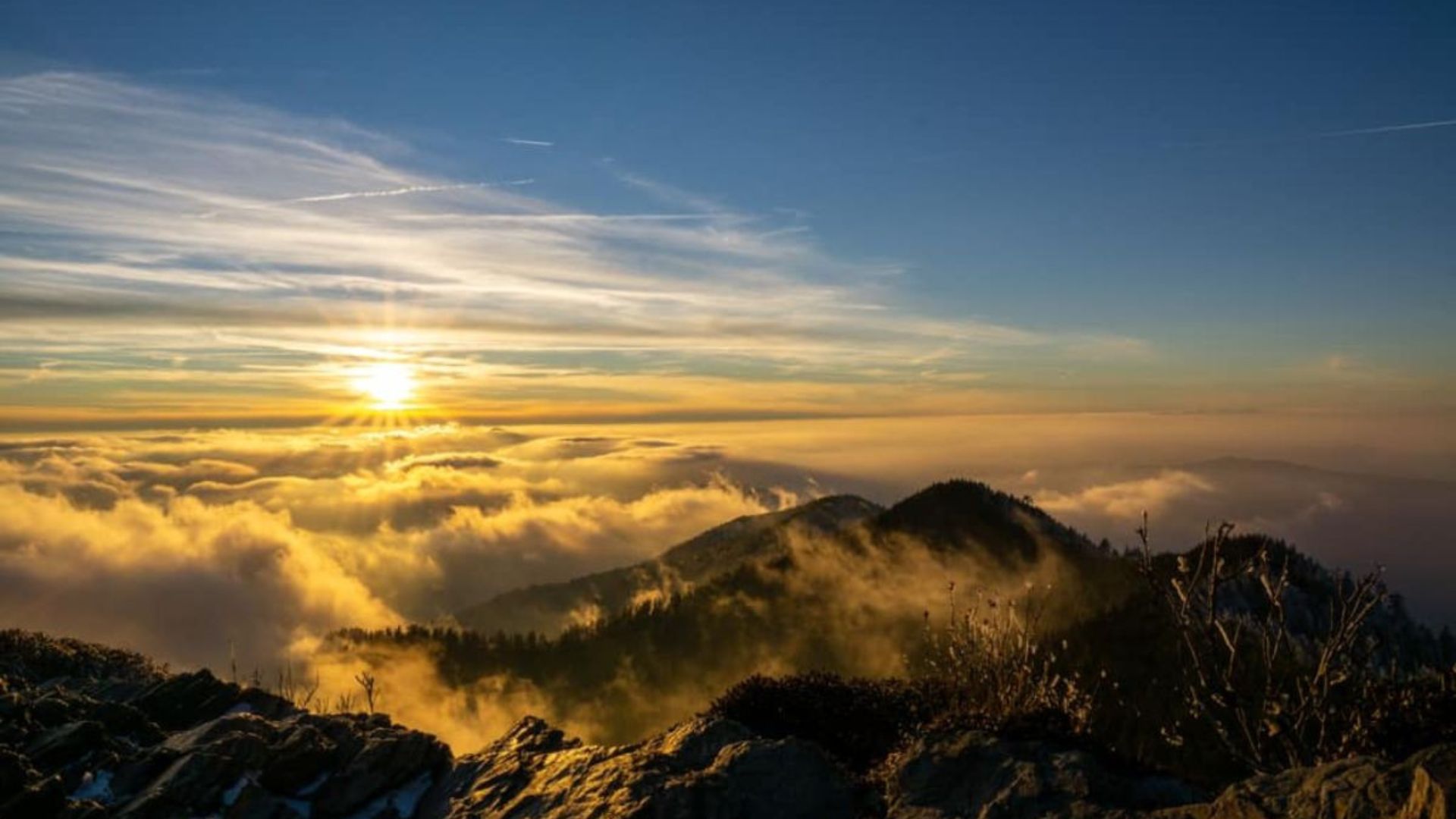
At 6,593 feet, Mount Le Conte is the third-highest peak in the Smokies and the tallest mountain entirely within Tennessee — and unlike the other high summits, there's no road to the top.
You walk up. Every route is at least eleven miles round trip with well over two thousand feet of climbing, which is what makes reaching the summit mean something. It's the hike serious visitors to the Smokies plan a trip around.
Planning the climb? A cabin near the trailheads makes the early start realistic — see Gatlinburg cabins.
- Allow 7 to 9 hours for the round trip, and start early enough to be off the mountain before dark
- A parking tag is required for any vehicle at a park trailhead over fifteen minutes. Buy at recreation.gov beforehand
- Trailhead lots fill by early morning in season, particularly Alum Cave
- Carry more water than you think — there's no potable water on the trails or reliably at the summit
- The summit runs 10 to 20 degrees colder than Gatlinburg, and the weather changes fast. Pack layers and rain gear regardless of the forecast in town
- In winter, the upper trails ice over and Alum Cave in particular becomes genuinely hazardous without traction devices
The four routes up
| Trail | Round trip | Known for |
|---|---|---|
| Alum Cave | 11 mi | Shortest and most popular; Arch Rock and the bluffs |
| Trillium Gap | 13.4 mi | Grotto Falls; the llama supply route |
| Rainbow Falls | 13.8 mi | An 80-foot waterfall halfway up |
| Bullhead | 14.4 mi | Solitude, wildflowers, and overlooks |
Alum Cave Trail
11 miles round trip · The standard route
The shortest way up and the one most people take. It starts with a gentle climb through rich forest, passes through Arch Rock — a stone tunnel with steps cut into it — and steepens toward Alum Cave Bluffs, an enormous overhang about halfway up with big views back down the valley.
Above the bluffs the trail gets more exposed, with cable handrails bolted into the rock in places. The final stretch opens out to panoramic views.
The bluffs alone are a worthwhile turnaround point at about 4.4 miles round trip, if the full summit is more than you want.
Trillium Gap Trail
13.4 miles round trip · Behind a waterfall
Passes Grotto Falls, where the trail goes behind the waterfall — the only trail in the park that does. That alone makes the first stretch worth doing even if you turn back.
This is also the llama route. Supplies for the summit lodge are carried up by llama train several times a week, and passing them on the trail is a genuinely strange and memorable thing.
Rainbow Falls Trail
13.8 miles round trip · The waterfall route
Named for the eighty-foot falls about halfway up, where the mist throws a rainbow on sunny afternoons. Longer and harder than Alum Cave, but the falls are among the most beautiful in the park.
Bullhead Trail
14.4 miles round trip · The quiet one
The least-traveled route, and the choice if solitude matters more than mileage. Wildflowers, varied vegetation, and scenic overlooks along the way. It joins Rainbow Falls near the top, which makes a loop possible for anyone wanting a longer day.
The summit
Le Conte's summit isn't a single point but a broad high-elevation ridge with several viewpoints, each with a different character.
Cliff Tops — a short walk from the summit area, and the sunset spot. Expansive views west over the mountains, and the reason people who stay overnight time their evening around it.
Myrtle Point — quieter, and the sunrise counterpart. More secluded, and the better choice if you want the summit largely to yourself.
The spruce-fir forest up here is a remnant Ice Age ecosystem, more characteristic of Canada than Tennessee, and it supports species found almost nowhere else in the region. See more on how elevation shapes the Smokies.
The lodge and the llamas
Near the summit sits LeConte Lodge, the highest guest lodge in the eastern United States and reachable only on foot. It has no electricity and no road access, which is why supplies come up by llama train on the Trillium Gap Trail.
Watching a line of llamas work its way up a mountain trail is one of the more surreal sights in the Smokies, and it's worth timing a Trillium Gap hike around if you can find out the schedule.
Which route to pick
- First time, or short on daylight — Alum Cave. Shortest, most scenic, best-maintained
- Want a waterfall — Trillium Gap for Grotto Falls, or Rainbow Falls for the bigger drop
- Want quiet — Bullhead, by a wide margin
- Not ready for eleven miles — hike Alum Cave to the bluffs and back, about 4.4 miles round trip, and still see the best geology on the mountain
Frequently asked questions
How hard is the hike to Mount Le Conte?
Strenuous. The shortest route is eleven miles round trip with well over two thousand feet of climbing, and it takes most people seven to nine hours. It's a full day and requires reasonable fitness.
Which trail is shortest?
Alum Cave, at eleven miles round trip. It's also the most scenic and the most popular, so the trailhead fills early.
Can you drive to the top?
No. Le Conte has no road access — every route to the summit is on foot. That's part of why it feels different from Kuwohi or Newfound Gap.
Is it the highest peak in the Smokies?
Third-highest at 6,593 feet, behind Kuwohi and Mount Guyot. It is the tallest mountain lying entirely within Tennessee.
What about the llamas?
Supplies for the summit lodge are carried up by llama train along the Trillium Gap Trail, since there's no road. Hikers on that trail regularly pass them.
Is there a shorter option?
Yes — hike Alum Cave to the bluffs and turn around, roughly 4.4 miles round trip. You get Arch Rock and the bluffs without committing to the summit. For genuinely easy options see our kid-friendly hikes.
Do I need a parking pass?
Yes, for any vehicle parked over fifteen minutes at a trailhead. Buy it in advance at recreation.gov.
When is the best time to hike it?
Late spring through autumn. Winter brings ice on the upper sections that makes Alum Cave hazardous without traction devices, and summer afternoons bring thunderstorms — start early whatever the season.
A summit day means leaving before sunrise, which is a great deal easier from a cabin near the trailheads. Browse Gatlinburg cabins and cabins near the national park, or come back to a hot tub after eleven miles — you'll want it. Coming in autumn? See fall cabin rentals. Check the current specials, or use the vacation planner to plan the trip.