Beard Cane Trail
One of the quietest corridors in the park — a backcountry trail in the far western Smokies with no road access at either end. Genuine solitude, and a genuine commitment to reach.
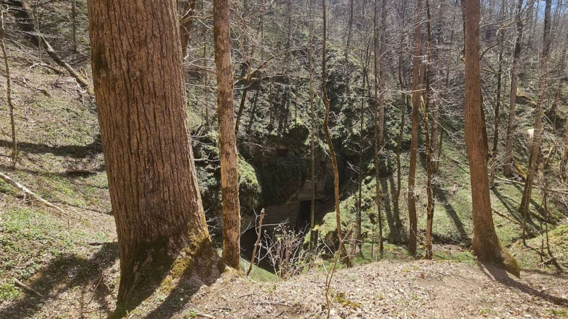
One of the quietest corridors in the park — a backcountry trail in the far western Smokies that sees a fraction of the traffic on the popular routes, and doesn't connect to a road at either end.
Beard Cane runs about 4.2 miles through remote forest and creek bottom, past traces of the settlements that stood here before the park. It's a genuine backcountry experience rather than a day hike, and reaching it takes commitment.
| Trail length | About 4.2 miles one way |
|---|---|
| Terrain | Rolling, with stream crossings |
| Road access | None — reached via connecting trails |
| Typical use | Backpacking loops and through-routes |
Beard Cane begins and ends at trail junctions deep in the backcountry, not at a road. Most hikers reach it via the Cooper Road Trail from the Abrams Creek area, which means several miles of walking before you set foot on Beard Cane itself.
Plan it as a section of a longer loop or an overnight, not as an out-and-back afternoon. Backcountry camping in the park requires a permit and a reserved site.
This area was hit by a tornado in 2011 that brought down large sections of forest, and the trail was closed for an extended period afterward. The corridor has been recovering since, and conditions differ from the mature canopy that stood before.
Confirm the trail is open and check current conditions with the Park Service at nps.gov before planning around it.
What's along it
The trail follows the contours of the land with gentle climbs and descents, crossing several small streams. Beard Cane Creek runs alongside stretches of it, and the name likely comes from the canebrakes — dense thickets of river cane — that once lined the banks.
The forest is mixed hardwood: oak, hickory, and maple, with rhododendron and mountain laurel through the understory. In spring and summer both flower along the route.
Traces of settlement
People lived and farmed here before the park was created, and the evidence is still in the ground — old stone walls, chimney remains, and the outlines of homesteads. It's less obvious than at Cades Cove, where the buildings still stand, but arguably more affecting for it. You come across these things alone, in the woods, with nobody else around.
Solitude and wildlife
This is the trail's real appeal. Where the popular routes see hundreds of people on an October Saturday, Beard Cane might see none. If you want the Smokies without anyone else in them, this is where to go.
Low traffic also improves your odds of wildlife. Deer, wild turkeys, and black bears all move through this area, and they behave differently where they aren't used to people.
That solitude cuts both ways — help is a long way off, and cell service is unreliable to nonexistent out here.
Connecting trails
Beard Cane is most often walked as part of something larger. At its far end it meets the Hatcher Mountain Trail, which opens onto connections toward Cooper Road and Little Bottoms, making several loop configurations possible through the western backcountry.
Anyone planning a route should work from a current park trail map rather than this page — junctions and conditions change, and this is not terrain to improvise in.
Preparation
- Carry a real map and compass, and know how to use them. Don't rely on a phone
- Tell someone your plan and your expected return time. Cell coverage is unreliable
- Carry all your water, or the means to treat it. There are no facilities anywhere on the route
- Expect stream crossings. They become difficult or impassable after heavy rain — waterproof boots or a spare pair of shoes help
- Get a backcountry permit if you're camping. Sites must be reserved through the Park Service
- Check the forecast and trail status before committing to a route out here
Who this trail is for
Experienced hikers and backpackers who want distance, solitude, and self-reliance — and who are comfortable being genuinely far from a road.
If you're after a shorter walk or a first hike in the park, this isn't it. Try kid-friendly hikes for easy options, Andrews Bald for a short hike with a big view, or Charlies Bunion and Mount Le Conte for demanding day hikes that still start at a parking area.
Frequently asked questions
How do I get to the Beard Cane Trail?
There's no road access. Most hikers reach it via the Cooper Road Trail from the Abrams Creek area, several miles in. It's a backcountry connector rather than a standalone hike.
How long is it?
About 4.2 miles one way — but the approach adds substantially to any round trip, which is why most people include it in a loop or an overnight.
Is it a day hike?
Not realistically. Between the approach and the trail itself, it works better as part of a backpacking route.
Do I need a permit?
For day hiking, no — though a parking tag is required wherever you leave the vehicle. For backcountry camping, yes: a permit and a reserved site, through the Park Service.
Is the trail open?
Check with the Park Service before you go. This area has seen storm damage and closures in the past, and backcountry trail status changes.
Is there cell service?
Assume not. Leave a plan with someone and carry paper navigation.
What makes it worth the effort?
Solitude, mostly. It's one of the few places in the most visited national park in the country where you can walk for hours without meeting anyone.
The western backcountry is closest to Wears Valley and the Townsend side of the mountains. Browse cabins near Cades Cove or cabins near the national park, and see more Smoky Mountain hikes for options at every level. Check the current specials, or use the vacation planner to plan the trip.