Top 5 Scenic Drives in the Smoky Mountains
Published May 5, 2020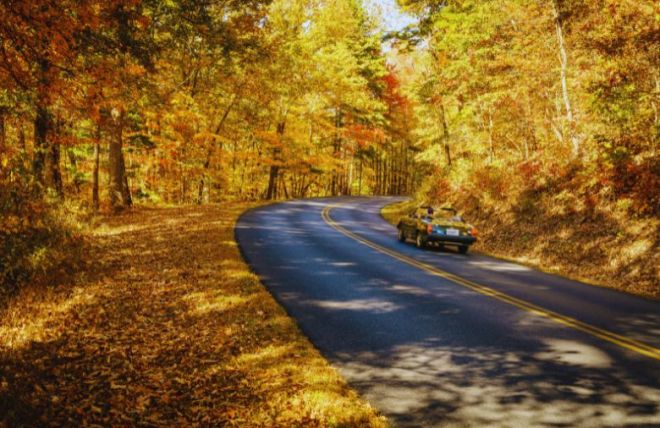
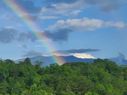
Some of the best scenery in Great Smoky Mountains National Park is accessible without ever leaving your car. These five scenic drives cover the full range of the park — open valleys with wildlife, high mountain passes, ridge-top views, and intimate forest roads past historic cabins and waterfalls. There's no entrance fee, but a Park It Forward parking tag ($5/day, $15/week, $40/annual) is required for any stop longer than 15 minutes.
1. Cades Cove Loop Road
The Cades Cove Loop is the most popular drive in the park, and for good reason. The 11-mile one-way loop circles a broad valley ringed by mountains — the best wildlife viewing in the Smokies, with black bears, white-tailed deer, wild turkeys, and coyotes regularly seen in the open meadows. Along the way you'll pass preserved historic structures: three churches, several log cabins, a working gristmill at the Cable Mill area, and a cantilever barn, all telling the story of the families who lived here from the early 1800s until the park was established in 1934.
Plan for two to four hours — the loop is slow-going, especially when wildlife brings traffic to a stop. Go early morning or late evening for the best animal sightings. From early May through late September, the loop closes to vehicles all day every Wednesday, opening it to cyclists and walkers.
2. Newfound Gap Road (US-441)
Newfound Gap Road is the park's main artery and one of its most scenic drives — a 33-mile route connecting Gatlinburg, Tennessee, to Cherokee, North Carolina, climbing from around 1,300 feet to 5,046 feet at Newfound Gap on the state line. The drive is often described as the ecological equivalent of traveling from Georgia to Maine, passing through cove hardwood, pine-oak, northern hardwood, and spruce-fir forest as you gain elevation. At the top, the Rockefeller Memorial marks the spot where the park was dedicated in 1940, with a large parking area, restrooms, and sweeping views.
The drive takes about an hour without stops, but the many overlooks along the way easily double that. The road is open year-round, though temporary closures happen during winter ice and snow — check nps.gov/grsm before a cold-weather drive.
3. Kuwohi Road
Kuwohi Road — formerly known as Clingmans Dome Road, officially renamed to its original Cherokee name in 2024 — is a seven-mile spur off Newfound Gap Road that leads to the highest point in Tennessee at 6,643 feet. Several pull-offs along the route offer spectacular views, and on clear days visibility stretches more than 100 miles. At the end of the road, a steep half-mile paved path climbs to the iconic observation tower at the summit, with 360-degree panoramic views over the Smokies.
The road is seasonal — typically open April through late November and closed December 1 through March 31 due to winter conditions at elevation. Bring a jacket year-round; temperatures at the summit run 10 to 20 degrees cooler than the valley. Fall color at this elevation peaks in early October, ahead of the lower slopes.
4. Roaring Fork Motor Nature Trail
The Roaring Fork Motor Nature Trail is the most intimate drive on this list — a 5.5-mile one-way loop through dense old-growth forest, past rushing streams, waterfalls, and some of the best-preserved historic cabins in the park. To reach it, turn at traffic light #8 on the Gatlinburg Parkway onto Historic Nature Trail Road and follow it to the Cherokee Orchard entrance. Highlights include the Ephraim Bales and Alfred Reagan cabins, the Place of a Thousand Drips waterfall right beside the road, and trailheads for Grotto Falls and Rainbow Falls.
The narrow, winding road prohibits buses, RVs, trailers, and other large vehicles. Plan one to three hours depending on how often you stop. The trail is closed in winter, typically late November through mid-March.
5. Foothills Parkway
The Foothills Parkway offers the widest open views of any drive here, running along the ridges outside the park's northern boundary and looking back at the main crest of the Smokies. The Walland-to-Wears Valley section — roughly 14.75 miles, completed in 2018 — climbs to nearly 2,500 feet near Caylor Gap, with winding viaducts crossing the valleys and multiple scenic overlooks with ample parking. It's easily reached from Pigeon Forge via Wears Valley Road, and it connects toward the Tail of the Dragon for drivers who want to continue.
The parkway is open year-round, weather permitting, and is far less crowded than the main park roads — an ideal choice for a relaxing afternoon drive, especially in fall when the hillsides turn color and in spring when wildflowers line the slopes. When the full parkway is eventually completed, it will span 72 miles.
Tips for driving the Smokies
A few things make these drives smoother. Fill your gas tank before entering the park — there are no gas stations inside it. Download an offline map or the NPS app, since cell service is unreliable throughout the park. Pack water, snacks, and layers regardless of season; mountain weather changes quickly and elevation makes a real temperature difference. Drive slowly and use the pull-offs rather than stopping in the road — this is both safer and courteous to other visitors. For wildlife, dawn and dusk are best, and the 50-yard distance rule applies to bears and elk. And check nps.gov/grsm for current road status before you set out, especially in winter, when several of these roads close or restrict access.
Frequently asked questions
Which Smoky Mountains scenic drive is best for wildlife?
Cades Cove Loop is the best drive for wildlife by a wide margin — the open valley makes it easy to spot black bears, white-tailed deer, wild turkeys, and coyotes, especially at dawn and dusk. Roaring Fork and Newfound Gap Road also offer good chances, particularly for bears in the trees along Roaring Fork.
Which scenic drives close in winter?
Kuwohi Road closes December 1 through March 31, and the Roaring Fork Motor Nature Trail closes from late November through mid-March. Cades Cove Loop, Newfound Gap Road, and the Foothills Parkway stay open year-round, though Newfound Gap can close temporarily during ice and snow events. Always check nps.gov/grsm for current road status in winter.
Do I need to pay to drive through the national park?
There's no entrance fee for Great Smoky Mountains National Park. However, a Park It Forward parking tag is required for any vehicle parked more than 15 minutes: $5 per day, $15 per week, or $40 annual. Tags are available at recreation.gov, visitor centers, and automated kiosks. You don't need a tag to drive through without stopping.
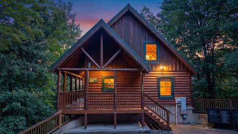
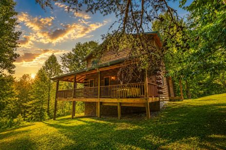
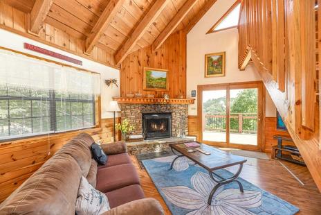
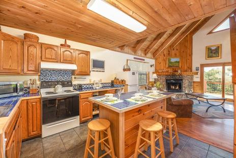
Stay in a cabin near Cades Cove or a Gatlinburg cabin and you're minutes from the trailheads for all five of these drives.