Foothills Parkway: Complete Guide to the Smoky Mountains' Best Scenic Drive
Published Mar 26, 2026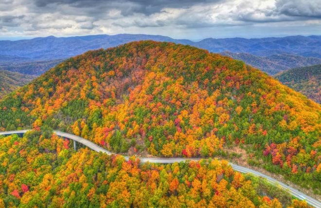
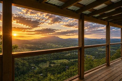
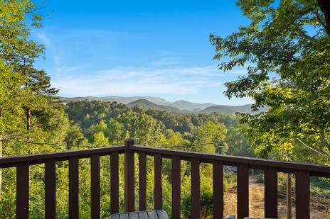
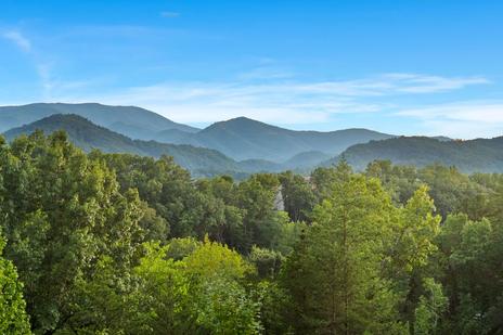
Most Smoky Mountain visitors spend their days on Newfound Gap Road and Cades Cove — the main park corridors, crowded and spectacular. Fewer discover the Foothills Parkway, which is a shame, because it delivers something those roads can't: unobstructed, ridge-top panoramic views of the entire Smoky Mountain range from the outside looking in.
Where Newfound Gap puts you inside the forest, the Foothills Parkway puts you on the ridgeline above it. The views are different in kind, not just degree — you see the mountains as a whole, ranges upon ranges, instead of looking through the canopy from within. It's one of the most underrated drives in the entire Southeast, and most visitors in Gatlinburg and Pigeon Forge are 20 minutes away from it without knowing it exists. Here's your complete guide.
What is the Foothills Parkway?
The Foothills Parkway is a scenic highway system running along the ridgelines just outside Great Smoky Mountains National Park. It was originally envisioned as a 72-mile corridor connecting Cosby to Chilhowee but has been constructed in segments over several decades. Today, the most accessible sections total roughly 38 miles across two primary stretches. There's no entrance fee — the Parkway is free to drive — though a $5 daily parking tag is required for parking longer than 15 minutes at any overlook or picnic area (purchase online or at the Sugarlands Visitor Center).
The two main sections
Western Section — Walland to Chilhowee (17 miles)
The longer, more developed western section runs from Walland (near Townsend) to Chilhowee Lake. It has the most facilities — including the Look Rock picnic area and observation tower — and the most dramatic views. Access: From Maryville/Townsend, take US-321 to Walland, then follow TN-115 to the Parkway entrance; from Wears Valley, take US-321 south through Townsend.
Eastern Section — Cosby area (5.8 miles)
The shortest completed section, near the Cosby entrance to the national park. Fewer facilities than the western section, but beautiful mountain views and significantly fewer visitors — a good option for travelers from the Gatlinburg side who want a quick taste of the Parkway without the full drive to Chilhowee. Access: From Gatlinburg, take US-321 east to Cosby, then follow signs for the national park.
Key stops along the Foothills Parkway
Look Rock Picnic Area
The western section's primary destination and the parkway's most complete stop — 51 tree-shaded tables with grills (one of the most scenic picnic settings in the entire region) and the Parkway's only public restrooms. Pack a lunch from your cabin kitchen and plan to eat here before or after the observation tower.
Look Rock Observation Tower
From the picnic area, a short paved trail (about 0.5 miles) leads to a steel observation tower at 2,652 feet. The 360-degree views are extraordinary — the entire Smoky Mountain range stretches to the south and east while the Tennessee foothills extend northward as far as visibility allows. This is the payoff view of the western section.
Emerine Gap Overlook
The Parkway's most distinctive single viewpoint — the only overlook where you can see significant views on both sides of the road at once, facing east toward the Great Smoky Mountains and west toward the Cumberland Plateau in the same stop.
Mount Cammerer Overlook
Mount Cammerer at nearly 5,000 feet dominates the eastern view with its long, sharp ridge — one of the most dramatic mountain profiles visible from any Foothills Parkway overlook. In fall, the ridge backdrops foliage color that unfolds in layers from valley floor to summit.
Gregory Bald Overlook
Take in views toward Gregory Bald — the mountaintop meadow famous for its flame azalea bloom in late June. You can't see individual azaleas from this distance, but seeing Gregory Bald's rounded profile from the Parkway gives the later hike a sense of geography and scale. Bring binoculars in late June to spot the pinkish-orange color at the summit.
Maryville Overlook
The small city of Maryville spreads across the Tennessee foothills below — a quieter view than the mountain panoramas, and a reminder that the Smokies don't exist in isolation. Maryville's historic downtown is worth a visit if you're making a full day of the western section. About 20 minutes from the Chilhowee end.
Great Smoky Mountains Overlook
The western section's largest pull-off — the widest, most panoramic view of the full range available from a single roadside stop. A reliable spot for wide-angle mountain shots.
Practical information
No gas, no restaurants. There are no food services or gas stations along any section. Fill your tank and pack food and water before entering; the Look Rock picnic area has a seasonal water fountain.
Restrooms. The only public restrooms are at the Look Rock picnic area on the western section.
Parking tags. A $5 daily parking tag is required if you park at any overlook or facility for more than 15 minutes. Purchase at recreation.gov or the Sugarlands Visitor Center. Enforcement is active.
Road quality. A fully paved, two-lane road maintained by the National Park Service, suitable for all passenger vehicles. Some sections are narrow with limited guardrails — drive attentively, especially in low visibility or adverse weather.
Weather. Mountain ridge fog can reduce visibility to near zero. If you arrive at Look Rock and can't see across the valley, wait 20–30 minutes — fog burns off quickly on clear mornings.
Best times to visit
Fall foliage (mid-October): The ridge-top position gives you a layered foliage view — valley trees turning color below while higher-elevation species follow above. This is the most popular time; arrive early on weekday mornings.
Clear days in any season: The Parkway is only as good as its visibility. On a clear day — especially after rain — the views stretch to the horizon; on an overcast day, the overlooks may show nothing but cloud. Prioritize clear-day visits.
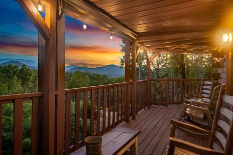
Sunrise: Driving the western section at dawn, as the Tennessee foothills emerge from morning mist and the peaks catch first light, is one of the most photogenic and least-crowded experiences in the entire Smoky Mountains area.
Weekdays: The Foothills Parkway is quieter than the main park corridors any day, but weekday mornings offer the most solitary experience.
Photography tips
Use the overlooks as foreground anchors. The stone walls and gravel surfaces create strong leading lines into the panorama behind them — position yourself at the edge of the overlook wall and shoot back into the valley.
Bring a wide-angle lens or use panorama mode. The views are horizontal — the range stretches left and right rather than towering vertically, so a wide field of view captures more than a telephoto approach.
Golden hour is exceptional. Morning light on the Tennessee foothills from north-facing overlooks, and afternoon light on the Smoky Mountain faces from south-facing viewpoints, give two distinct lighting opportunities in a single day.
Fog adds drama. A partly cloudy or foggy morning can produce better photography than a clear day — low clouds sitting in the valleys with ridgelines breaking through above is one of the most recognizable Smoky Mountain visual signatures.
Combining the Foothills Parkway with other activities
Wears Valley day trip: The western section connects naturally with a Wears Valley drive. Combine a morning Parkway drive with a Wears Valley lunch, then continue to Townsend and the Cades Cove entrance in the afternoon.
Look Rock + picnic: Pack a cabin lunch in a cooler, drive the western section in the morning, and stop at Look Rock for the tower views and a picnic. Allow 3–4 hours.
Eastern section from Gatlinburg: For visitors based in Gatlinburg, the eastern (Cosby) section is the closest access point — a 30-minute drive from downtown. A 45-minute out-and-back with a few overlook stops makes an easy morning add-on before attractions open.
Frequently asked questions
How long does it take to drive the Foothills Parkway?
The western section (17 miles) takes about 45–60 minutes without stops, or 2–3 hours with overlook pull-offs and a picnic at Look Rock. The eastern section (5.8 miles) takes 20–30 minutes with stops.
Is the Foothills Parkway free?
Yes — no entrance fee. A $5 daily parking tag is required for parking longer than 15 minutes at overlooks and facilities.
Are there hiking trails on the Foothills Parkway?
The Look Rock observation tower trail is the primary one — about 0.5 miles paved from the picnic area to the tower. The Parkway is primarily a scenic drive; for serious hiking, use the national park trailheads nearby.
Is the Foothills Parkway open year-round?
Generally yes — the paved sections are open year-round, weather permitting. Check nps.gov/grsm for current conditions if visiting in winter or adverse weather.
Can I see Great Smoky Mountains National Park from the Foothills Parkway?
Yes — the Parkway runs along the ridgeline just outside the park boundary, giving panoramic views of the range from the outside looking in. The perspective is different from — and complementary to — the views you get inside the park.
Is the Foothills Parkway suitable for RVs?
The road is paved and navigable by RVs and larger vehicles, but some sections are narrow with limited passing room, and the overlook pull-offs have limited depth. Check current conditions before bringing a large vehicle.
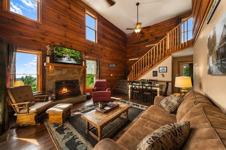
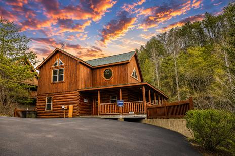
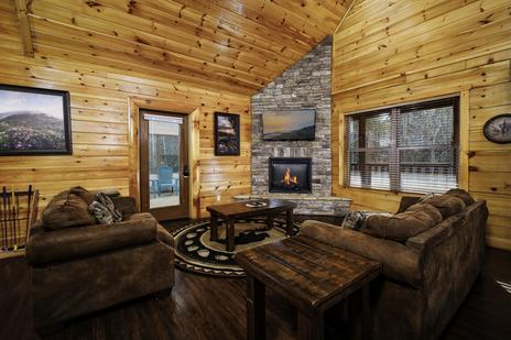
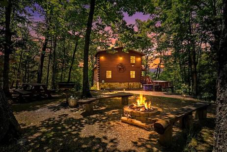
The Foothills Parkway is best explored from a comfortable base. Browse Colonial Properties' Wears Valley cabin rentals for the closest access to the western section, or our Gatlinburg cabins for easy access to the eastern section near Cosby.