Discover the Roaring Fork Motor Nature Trail: A Complete Guide for Nature Lovers
Published Apr 26, 2024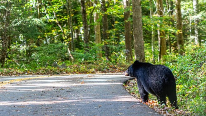
The Roaring Fork Motor Nature Trail is a 5.5-mile one-way loop through old-growth forest just minutes from downtown Gatlinburg — one of the most accessible and rewarding drives in Great Smoky Mountains National Park. Here's everything you need to know before you go.
Getting there
From the Gatlinburg Parkway, turn right at Traffic Light #8 onto Airport Road. Follow it through Cherokee Orchard — a two-lane road lined with second-growth forest — until it narrows into the one-way Roaring Fork Road and the loop begins. The transition from city traffic to deep forest takes about ten minutes. The road is paved but narrow and steep in sections, and it is impassable to motor homes, buses, and trailers. Download the NPS app or a map before you leave town — cell service is unreliable once you're inside the park. The trail runs approximately March through November; it closes in winter due to ice on the steep grades.
What to know before you go
A parking tag is required any time you park for more than fifteen minutes anywhere in the park, including at trailheads along the Roaring Fork loop. Purchase daily, weekly, or annual tags online at recreation.gov or at the Sugarlands Visitor Center before you arrive — the trailhead lots themselves do not sell tags. The Rainbow Falls parking lot fills early and completely on summer and fall weekends; arrive before 8 AM or plan to walk from a lower parking area down Cherokee Orchard Road. Dogs are not permitted on any trails off Roaring Fork Road — they may ride in the car through the loop but cannot hike the backcountry trails. The road is one-way, so there is no turning back once you enter; plan enough time to complete the full loop, which takes approximately ninety minutes to two hours with stops.
Historic structures
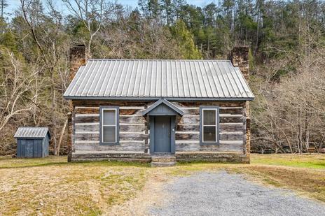
The trail passes through land that was farmed and logged before the national park absorbed it in the 1930s, and several well-preserved 19th-century homesteads remain along the route. The Noah "Bud" Ogle cabin, at the trailhead area before the one-way loop begins, is the most accessible stop — a preserved log cabin, barn, and working tub mill on a self-guided nature trail that takes about twenty minutes to walk. The Reagan tub mill, further into the loop, sits so close to the road that you practically drive through it: a tiny cornmeal-grinding mill powered by a millrace diverted from Roaring Fork Creek. These structures provide the strongest sense of what Appalachian mountain life looked like before the park — more evocative than a museum because you're standing in the actual landscape where people lived and worked.
Waterfalls and hikes
Four named waterfalls are accessible from or visible along the Roaring Fork loop, ranging from strenuous backcountry hikes to roadside stops.
Rainbow Falls Trail
The trailhead is just before the one-way loop begins on Cherokee Orchard Road. Rainbow Falls is the tallest single-drop waterfall in the national park at eighty feet — named for the rainbow that appears at its base on sunny afternoons. The round trip to the falls is 5.4 miles with 1,500 feet of elevation gain; plan three to five hours and bring water and snacks. The climb is steady and the trail well-maintained but genuinely strenuous — not suitable for young children or casual walkers.
Baskins Creek Falls Trail
A more accessible option: three miles round trip to a forty-foot waterfall through a quieter, less-trafficked section of the park. Family-friendly for children who can manage a moderate trail. The trailhead is along the loop road.
Grotto Falls Trail (Trillium Gap Trail)
A 2.6-mile round trip through old-growth forest with some of the largest hemlock trees remaining in the Smokies. Grotto Falls is the only waterfall in the park where you can walk behind the cascade — the trail passes through the space between the rock face and the falling water. Moderate difficulty, suitable for most hikers.
Place of a Thousand Drips
Near the end of the loop, this wide, multi-channeled cascade is visible directly from your car — no hiking required. During or after rain, it's one of the most impressive roadside water features in the park. In dry conditions it slows to a trickle.
Wildlife and scenery
The loop passes through some of the park's richest old-growth hardwood and evergreen forest. Black bears are regularly sighted in this area — maintain the NPS-required fifty-yard distance and never approach or feed them. Deer, wild turkey, and coyotes are also common. Spring brings wildflowers throughout the forest floor, particularly trillium near Grotto Falls; fall brings some of the most vivid foliage color accessible by car in the Smokies. Overlooks at two points on the loop provide mountain view photography opportunities without hiking.
Frequently asked questions
Is Roaring Fork Motor Nature Trail free?
There is no gate admission fee to enter the trail. However, a parking tag is required for any parking over fifteen minutes and is not free — purchase daily, weekly, or annual passes at recreation.gov or at the Sugarlands Visitor Center before arriving at the trailhead.
Can I bring my dog on Roaring Fork Road?
Dogs may ride through the loop in your car but are not permitted on any of the backcountry hiking trails off the road. This is an NPS rule enforced throughout Great Smoky Mountains National Park, with the exception of the Gatlinburg Trail and Oconaluftee River Trail. Fines apply for off-leash dogs on prohibited trails.
How long does it take to drive the loop?
Without stops, the drive takes approximately thirty minutes at a slow pace. With stops at the historic structures, overlooks, and one short trail, plan ninety minutes to two hours. Adding a hike to Grotto Falls adds another one to two hours; Rainbow Falls adds the better part of a full day.
When is the best time to visit?
Early morning on any day — the parking lots fill by 9 or 10 AM on summer and fall weekends. Weekdays are significantly less crowded than weekends. Spring (April–May) for wildflowers, fall (mid-October) for foliage. The trail is closed in winter, typically November through March, though the exact dates vary by year — check the NPS website before planning a late fall or early spring visit.
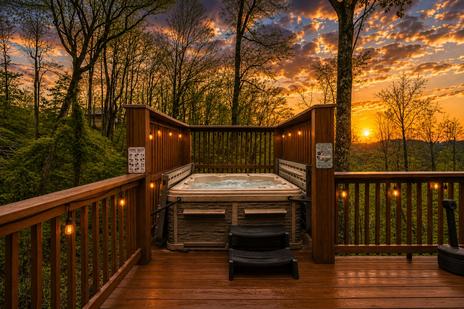
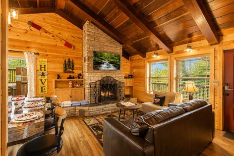
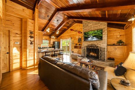
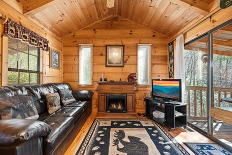
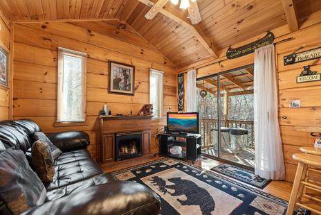
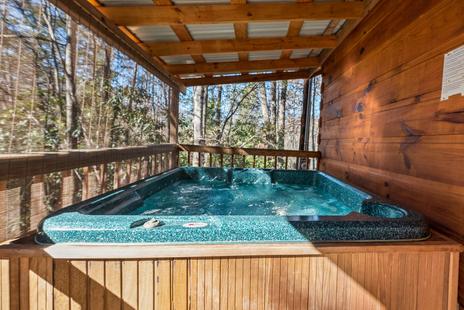
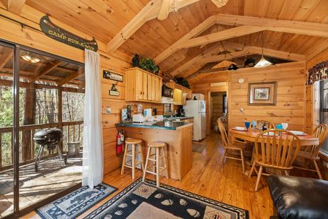
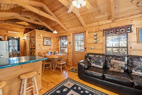
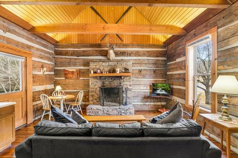
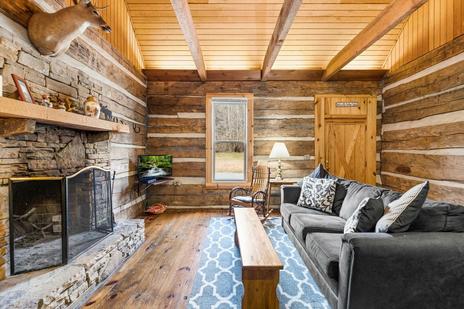
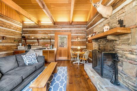
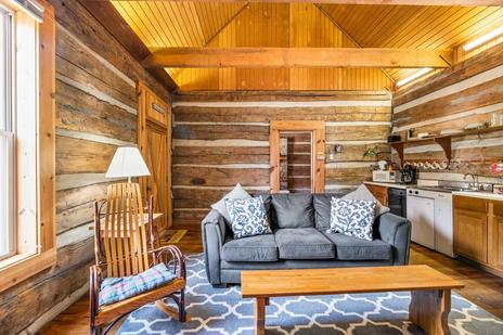
Roaring Fork Road is ten minutes from downtown Gatlinburg — close enough to drive the loop before breakfast and be back at a Gatlinburg cabin in time for coffee on the deck.