Roaring Fork Motor Nature Trail
A five-and-a-half-mile one-way loop ten minutes from downtown Gatlinburg — rushing streams, 1800s homesteads, a roadside waterfall, and the trail that goes behind Grotto Falls. The most concentrated hour in the park.
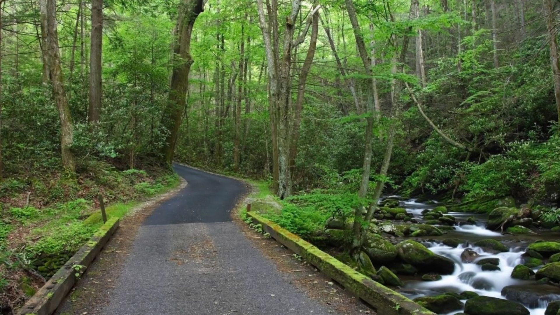
A five-and-a-half-mile one-way loop that starts minutes from downtown Gatlinburg and delivers rushing streams, 1800s homesteads, a roadside waterfall, and the trail that goes behind Grotto Falls.
It's the most concentrated hour in the park — you don't have to drive far or hike hard to see a lot. Which is why it's also one of the busiest roads in the Smokies by mid-morning.
| Length | 5.5 miles, one way |
|---|---|
| Driving time | 1 to 2 hours with stops |
| Season | Roughly April to November |
| Access | Cherokee Orchard Road, from Gatlinburg |
| Not permitted | RVs, trailers, buses |
- Closed in winter. The road typically opens in spring and closes late in the year. Check current status at nps.gov
- A parking tag is required for any stop over fifteen minutes. Buy at recreation.gov beforehand
- No RVs, trailers, or buses. The road is genuinely narrow with tight turns — this isn't a suggestion
- One way only. Miss a pull-off and you can't turn around; you'd have to drive back into Gatlinburg and start again
- Go early. The loop backs up badly by mid-morning in peak season, and there's nowhere to pass
Getting there
From downtown Gatlinburg, take Historic Nature Trail Road at traffic light 8 — the same turn as the Space Needle — and follow it into the park onto Cherokee Orchard Road. The Roaring Fork loop begins a couple of miles in.
The whole thing is about ten minutes from the Parkway, which is what makes it such an easy morning.
The drive
The road is named for the Roaring Fork, the fast mountain stream that runs alongside much of it. Dense hemlock, rhododendron, and hardwood close in overhead — green tunnel in summer, and among the best fall color in the park at eye level rather than across a valley.
Pull-offs run the length of the loop. The whole point is to stop repeatedly, so budget an hour or two rather than treating it as a shortcut anywhere.
What to stop for
Noah "Bud" Ogle Place
On Cherokee Orchard Road before the loop proper. A farmstead with a cabin, barn, and tub mill, built in the late 1800s. A short self-guided nature trail runs through the property, and the plumbing system Ogle rigged from hollowed logs is still visible.
Ephraim Bales Cabin
A modest two-room cabin built from logs cut on the spot, sitting right beside the road with the forest pressing in around it. It gives a clearer sense of how tight life was here than the larger preserved homesteads do.
Alfred Reagan Place
The one people photograph. A house painted in what the Park Service describes as all three colors Sears sold at the time, alongside a tub mill on the stream. Reagan was a farmer, blacksmith, miller, and preacher — the house reflects a man doing better than his neighbors.
Place of a Thousand Drips
Near the end of the loop, a waterfall that runs down the rock face directly beside the road — you can see it without getting out of the car, though everyone does. It's at its best after rain, when the whole face is running; in dry spells it thins to a trickle.
Hiking from the loop
Grotto Falls
2.6 miles round trip via the Trillium Gap Trail
The reason many people drive the loop. A moderate walk through hemlock forest to a waterfall you can walk behind — the only one in the park where the trail passes under the falls. The mist is genuinely cooling on a hot day.
Trillium Gap Trail to Mount Le Conte
The same trail continues to the summit of Mount Le Conte at 6,593 feet — 13.4 miles round trip, a serious day. This is also the llama supply route to the summit lodge, so you may pass a llama train.
Rainbow Falls
The trailhead is on Cherokee Orchard Road on the way in. An eighty-foot waterfall, 5.4 miles round trip, and considerably harder than Grotto Falls — steep and rocky throughout.
Bears
The forest and stream corridor along Roaring Fork holds a healthy black bear population, and sightings from the road are common.
Stay in your vehicle if one is close, keep 50 yards back on foot — a legal requirement in the park — and never leave food unattended at a pull-off.
When to go
- Early morning — the only reliable way to have the road to yourself, and the best light through the canopy
- After rain — the streams run hard and the Place of a Thousand Drips is at its best
- Autumn — the color here is close-up rather than panoramic, which makes it different from the ridge drives. Also the busiest time
- Spring — wildflowers along the stream and through the homesteads
Frequently asked questions
How long does the drive take?
One to two hours with stops. The road is only 5.5 miles, but stopping is the entire point.
Is it open year-round?
No — it closes for the winter, typically running spring through late autumn. Check nps.gov before you go.
Can I take an RV?
No. RVs, trailers, and buses aren't permitted. The road is narrow with tight turns and no room to correct a mistake.
How do I get there from Gatlinburg?
Turn at traffic light 8 onto Historic Nature Trail Road and follow it into the park onto Cherokee Orchard Road. About ten minutes from the Parkway.
What's the best hike from the loop?
Grotto Falls, 2.6 miles round trip, where the trail passes behind the waterfall. It's the only trail in the park that does.
Do I need a parking pass?
Yes, for any stop over fifteen minutes. Buy in advance at recreation.gov.
Will I see bears?
It's a good area for it, particularly early and late in the day. Keep 50 yards back and stay in the vehicle if one is near the road.
Is it worth doing if I've driven Cades Cove?
Yes — they're different. Cades Cove is open valley and wildlife; Roaring Fork is close forest, streams, and homesteads. Roaring Fork is also far closer to Gatlinburg.
Ten minutes from the Parkway makes this the easiest morning in the park from a Gatlinburg cabin. Browse Gatlinburg cabins and cabins near the national park, or cabins on the river if the streams are what you're after. Coming for the color? Fall cabin rentals. More in the park on our Smokies guide and trails guide. Check the current specials.