Scenic Drives in the Smoky Mountains
Five drives that cover most of what makes the Smokies worth the trip, and none of them require hiking a step — high ridges, open valley, close forest, riverside, and one that sits outside the park entirely.
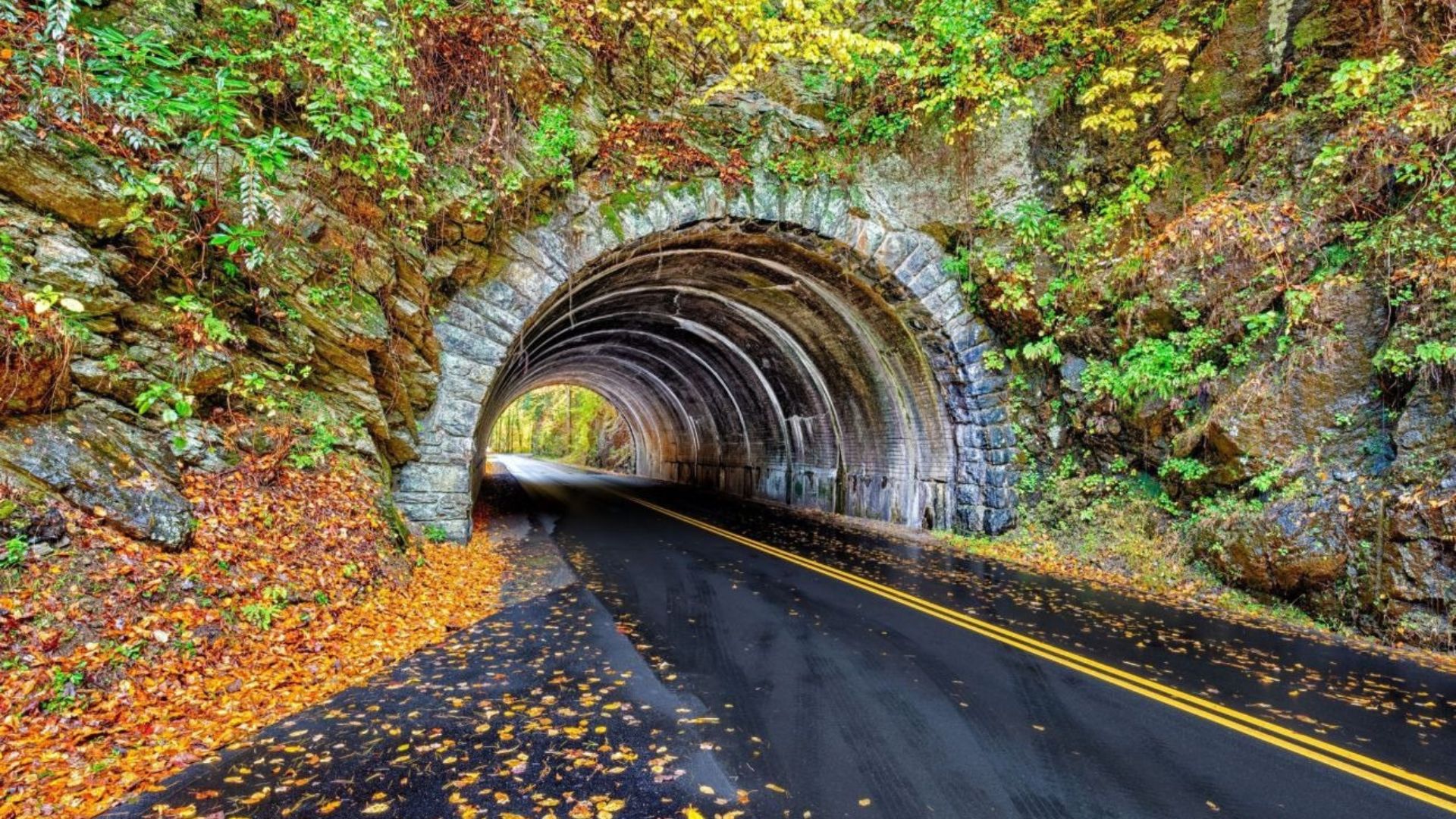
Five drives that cover most of what makes the Smokies worth the trip — and none of them require hiking a step.
They're genuinely different from one another: high ridges, open valley, close forest, riverside, and one that sits outside the park entirely. Here's what each one gives you and how to choose.
Quick comparison
| Drive | Length | Best for |
|---|---|---|
| Newfound Gap Road | 33 mi | High-elevation views, crossing the park |
| Cades Cove Loop | 11 mi | Wildlife and historic buildings |
| Roaring Fork | 5.5 mi | Streams, homesteads, close to Gatlinburg |
| Little River Road | 18 mi | Riverside driving and waterfall access |
| Foothills Parkway | 33 mi | Big views without the crowds |
- A parking tag is required for any vehicle parked over fifteen minutes inside the national park. Buy at recreation.gov before you go. The Foothills Parkway is the exception — its pull-offs sit outside the park
- Seasonal and weather closures are common. Roaring Fork closes for winter, Newfound Gap Road shuts in storms, and the Kuwohi spur closes December through March. Check nps.gov before setting out
Newfound Gap Road
33 miles · Gatlinburg to Cherokee · Two-way
The main road across the park, climbing from about 1,289 feet in Gatlinburg to 5,046 at Newfound Gap. You drive through every forest zone in the Smokies in about an hour, which makes it the best single introduction to the place.
Overlooks the whole way, and the parking area at the top straddles the Tennessee–North Carolina line. The road to Kuwohi — formerly Clingmans Dome, and the highest point in the park — branches off near the gap, though it closes for the winter.
Cades Cove Loop Road
11 miles · One-way · Best at first light
A slow loop around an open valley ringed by mountains, past preserved cabins, churches, and a working grist mill. It's the best wildlife viewing in the park — deer, wild turkeys, and black bears in the meadows.
It's also the most congested road in the Smokies by mid-morning. Go at opening or don't go.
Roaring Fork Motor Nature Trail
5.5 miles · One-way · Closed in winter · No RVs
The shortest and the closest to town — ten minutes from the Parkway. Narrow, winding, and pressed in on both sides by hemlock and rhododendron, following a fast mountain stream the whole way.
Historic homesteads, the roadside Place of a Thousand Drips, and the trailhead for Grotto Falls, the only waterfall in the park you can walk behind.
Little River Road
18 miles · Sugarlands to Townsend · Two-way
Follows the Little River between the Sugarlands Visitor Center and Townsend, with pull-offs along the water most of the way. It's the connector road to Cades Cove, so most people drive it on the way to somewhere else and miss that it's a good drive in its own right.
The Laurel Falls trailhead is here — the most popular family waterfall hike in the park, though check current trail status as it has seen rehabilitation work. The Metcalf Bottoms picnic area is also on this road.
A powerful waterfall and pool along Little River Road, and one of the most dangerous spots in the park. The hydraulics below the falls have drowned people, including strong swimmers.
It's worth stopping to look at. Don't get in the water, and keep children well back from the rocks.
Foothills Parkway
33 miles across two segments · Outside the park
The one most visitors never find. A ridge road just outside the park boundary with pull-offs every mile or so, big views in both directions, and a fraction of the traffic on Newfound Gap.
No parking tag needed, since it sits outside the park's paid zones. The eastern segment ends in Wears Valley, and the Look Rock tower on the western segment is one of the better viewpoints in the region.
Which one should you drive?
- One drive, first visit — Newfound Gap Road. It covers the most ground and the most elevation
- Want to see a bear — Cades Cove, at first light
- Short on time — Roaring Fork. Ten minutes from Gatlinburg and an hour end to end
- Hate crowds — Foothills Parkway, comfortably
- Traveling with small children — Little River Road, with a picnic and Laurel Falls
- Fall color — Newfound Gap for the elevation range, Foothills for the panoramas, Roaring Fork for close-up canopy
Frequently asked questions
Do I need a parking pass just to drive through?
No — driving through is free. The tag is required only if you park for more than fifteen minutes, which most people do. Buy in advance at recreation.gov.
Which drive is best for wildlife?
Cades Cove, clearly, and especially early morning or late evening. Roaring Fork is a good second for bears.
Which is best for fall color?
Newfound Gap Road, because it climbs through every elevation band and something is always at peak. See our fall guide for the timing by elevation.
Can I take an RV?
Not on Roaring Fork — RVs, trailers, and buses are prohibited. The other drives are fine, though Cades Cove is slow going in a large vehicle.
Are the roads open in winter?
Variable. Roaring Fork closes for the season, the Kuwohi spur closes December through March, and Newfound Gap Road shuts during storms. Cades Cove, Little River Road, and the Foothills Parkway generally stay open, weather permitting.
Which is the quietest?
The Foothills Parkway, by a wide margin — even in October.
How long should I allow?
Roaring Fork, an hour or two. Cades Cove, two to four. Newfound Gap Road, half a day if you're crossing and coming back. Little River Road and the Foothills Parkway, a couple of hours each with stops.
Where you stay determines which of these is a ten-minute drive and which is an hour. Gatlinburg cabins put you closest to Roaring Fork and Newfound Gap; Wears Valley and cabins near Cades Cove are best for the western drives. See cabins with mountain views for the same scenery from your deck, or Pigeon Forge cabins for a central base. Check the current specials, or use the vacation planner.