Tail of the Dragon: Driving US-129 in the Smoky Mountains
Published Mar 2, 2019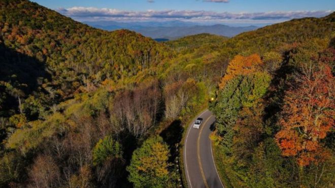
To driving enthusiasts, the Tail of the Dragon is a pilgrimage — 318 curves packed into 11 miles of US-129 at the Tennessee–North Carolina line, with no intersections, no driveways, and nothing but pavement, trees, and turns. Here's what makes it legendary and how to drive it safely from your Smoky Mountain basecamp.
What is the Tail of the Dragon?
The Tail of the Dragon — often just "The Dragon" — is an 11-mile stretch of U.S. Route 129 running from Deals Gap on the North Carolina border down to the Tabcat Creek Bridge in Tennessee. Its claim to fame is the sheer density of curves: 318 of them in 11 miles, an uninterrupted, flowing sequence of hairpins, switchbacks, and banked bends with no cross streets, homes, or businesses to break the rhythm. The road runs through the Cherokee National Forest on the Tennessee side and the Nantahala National Forest on the North Carolina side, bordering the southwestern corner of Great Smoky Mountains National Park. The curves are continuous rather than straight-then-corner, taken at a flowing 25 to 35 mph — nothing technically extreme, but relentlessly engaging.
Why the Tail of the Dragon is famous
US-129 was paved around 1934 and existed in relative obscurity for decades. It earned its "Tail of the Dragon" name in 1981 — the curves were said to resemble a dragon's coiling tail — and rose to national fame in the 1990s through the Deals Gap riding community, and later through YouTube videos, magazine road tests, and movie appearances. Today it draws an estimated 250,000 motorcyclists a year, plus sports-car drivers from around the world.
Much of the legend lives at the Deals Gap Motorcycle Resort at the north end, operating since 1943, with rooms, a campground, restaurant, gas, and a shop full of Dragon paraphernalia. Nearby stands the famous metal dragon statue — an irresistible photo op — and the sobering "Tree of Shame," hung with pieces of motorcycles and cars that didn't make it around one of the 318. Many of the sharpest curves have earned their own names: Copperhead Corner, Hog Pen Bend, Gravity Cavity, and Brake or Bust Bend among them.
What to expect on the drive
The Dragon is a continuous workout of concentration — there's no cruising stretch to relax on. Motorcycles typically outnumber cars, and riders take it seriously; professional photographers are stationed permanently along the route selling action shots of your vehicle mid-corner. Around mile nine on the Tennessee side, the Calderwood Overlook offers a spectacular view of the 1930s-era hydroelectric dam and the reservoir it created — a good place to pull off and take it in.
A word on safety: the Dragon has a reputation as one of the more dangerous roads in the country, but most of the risk comes down to driver decisions, not the road itself. On average about three fatalities occur per year, most involving motorcycles. Cross the double-yellow line at your peril — riders and drivers regularly drift wide on blind corners. Drive your own pace, stay in your lane, and if you feel like you're struggling, slow down. There are no guardrails on many sections and no services along the 11 miles.
Tips for driving the Tail of the Dragon
Timing is everything. The best time to drive the Dragon is a spring (April–May) or fall (September–October) weekday morning, when traffic is lightest and the scenery is at its best — foliage in fall, wildflowers in spring. Weekends and summer afternoons bring heavy motorcycle traffic and slower, more congested runs. Fill your gas tank before you go, since there are no stations on the road. Check your brakes and tires beforehand. And keep expectations realistic — this isn't a race; it's a technical, scenic drive best enjoyed at a controlled pace.
To extend the day, the broader loop from Maryville, Tennessee through the Dragon to Robbinsville, North Carolina takes in more excellent mountain road, and the nearby Cherohala Skyway adds 60 miles of scenic highway. From Pigeon Forge, the most scenic approach is via the Foothills Parkway to US-129 — plan roughly an hour and 15 minutes to an hour and 45 minutes each way depending on traffic.
Frequently asked questions
How many curves does the Tail of the Dragon have?
318 curves in 11 miles — that's the figure the road is famous for. The stretch of US-129 has no intersections, driveways, or businesses along it, so the curves come in a continuous, flowing sequence rather than being broken up by cross traffic.
Is the Tail of the Dragon safe to drive?
It can be driven safely by novices as well as experienced drivers, as long as you respect the road. Most incidents come from driver error — excessive speed or crossing the center line on blind curves — rather than the road itself. Drive at your own comfortable pace, stay in your lane, and slow down if you feel out of your depth. Spring and fall weekday mornings are the safest, least-crowded times.
How far is the Tail of the Dragon from Pigeon Forge and Gatlinburg?
It's roughly an hour and 15 minutes to an hour and 45 minutes from Pigeon Forge or Gatlinburg, depending on your route and traffic. The most scenic approach is via the Foothills Parkway to US-129. There are no services on the Dragon itself, so gas up and grab food before you reach Deals Gap.
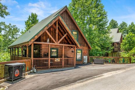
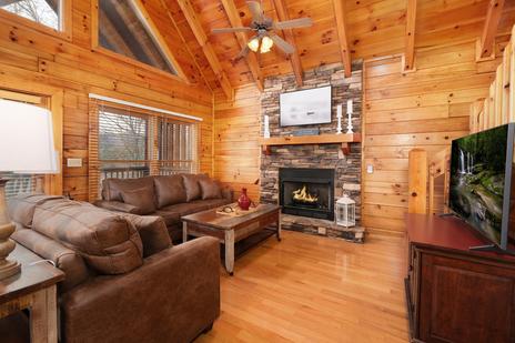
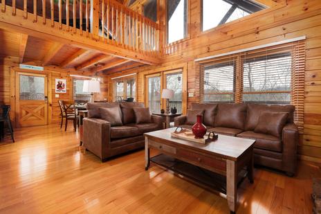
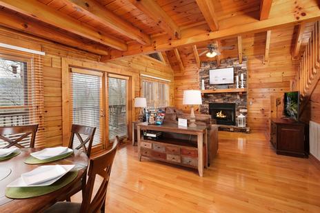
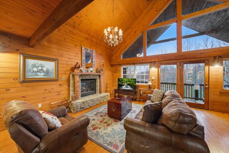
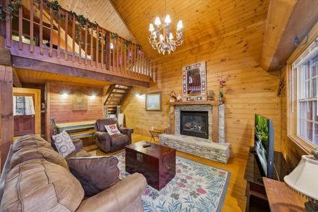
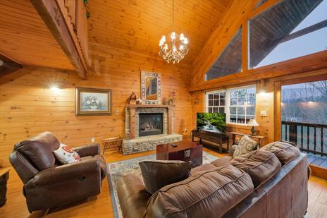
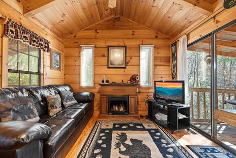
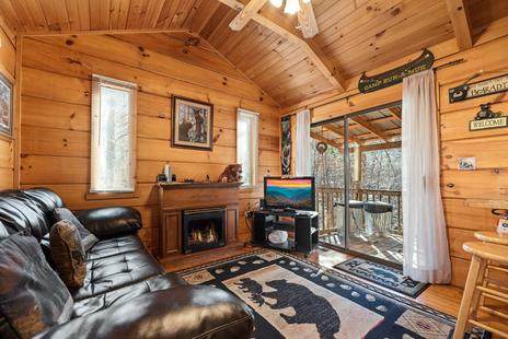
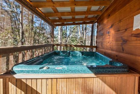
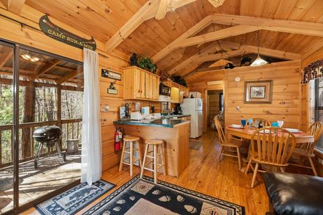
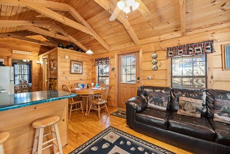
Base your driving trip in a Gatlinburg or Pigeon Forge cabin and tackle the Dragon on a quiet weekday morning. For more routes, see our guide to the best scenic drives in the Smoky Mountains.