Mouse Creek Falls: A Complete Guide
Published Sep 22, 2026
Tucked into the quiet Big Creek corner of the North Carolina side of Great Smoky Mountains National Park, Mouse Creek Falls is one of the most rewarding easy waterfall hikes in the Smokies — a gentle 4-mile round trip along a rushing mountain creek that passes a famous swimming hole and ends at a 41-foot cascade with a log bench made for lingering. It's less crowded than the Gatlinburg-side falls, genuinely family-friendly, and packs two of the park's best water features into one walk. Here's your complete guide.
- Trail: Big Creek Trail (out-and-back)
- Distance: ~4 miles round trip (2 miles each way)
- Difficulty: Easy to moderate — gentle, steady grade on an old railroad bed
- Elevation gain: ~540–600 feet, spread out
- Time: about 2 hours, plus time at the falls and swimming hole
- Trailhead: Big Creek Trailhead / Picnic Area, NC side (I-40 Exit 451)
- Bonus: passes Midnight Hole swimming hole at ~1.4 miles
Why hike to Mouse Creek Falls
Most Smoky Mountain waterfall hikes start near Gatlinburg and get busy. Mouse Creek Falls is different — it's in the Big Creek area on the North Carolina side, a genuinely quieter corner of the park that rewards the slightly longer drive with fewer crowds and a beautiful, water-lined trail. The path follows Big Creek the entire way, so you're never far from the sound of rushing water, and the grade is gentle enough for families and casual hikers while still delivering a real payoff.
And it's really two attractions in one: the deep, swimmable Midnight Hole partway in, and Mouse Creek Falls at the turnaround. Few hikes this easy pack in this much.
The trail, step by step
Big Creek Trail follows an old railroad grade built by the Crestmont Logging Company in the early 1900s and rehabilitated into a trail by the Civilian Conservation Corps in the 1930s. That history is why it's so pleasant to walk — wide, well-graded, and never steep, with a packed dirt-and-gravel surface (and some roots and rocky sections).
First 0.5 mile
The trail begins by hugging the edge of the broad Big Creek valley, with the stream flowing on the far side and the path riding a bit above it. An easy warm-up.
0.5 to 1.4 miles
The valley narrows and the trail draws right alongside Big Creek — rhododendron-lined banks, boulder-strewn rapids, and (in spring and summer) wildflowers carpeting the forest floor. This is classic Smokies creek-side hiking.
Midnight Hole (~1.4 miles)
One of the most famous swimming holes in the park: a deep, clear pool below a photogenic ~6-foot waterfall, framed by huge boulders. On warm days it's a popular spot for a swim or a jump from the rocks, and it's a beautiful place to rest whether or not you get in. Most day hikers stop here — which means the last stretch to the falls is often quieter.
1.4 to 2.0 miles
Continue up the gentle grade another half-mile-plus along the creek.
Mouse Creek Falls (~2.0 miles)
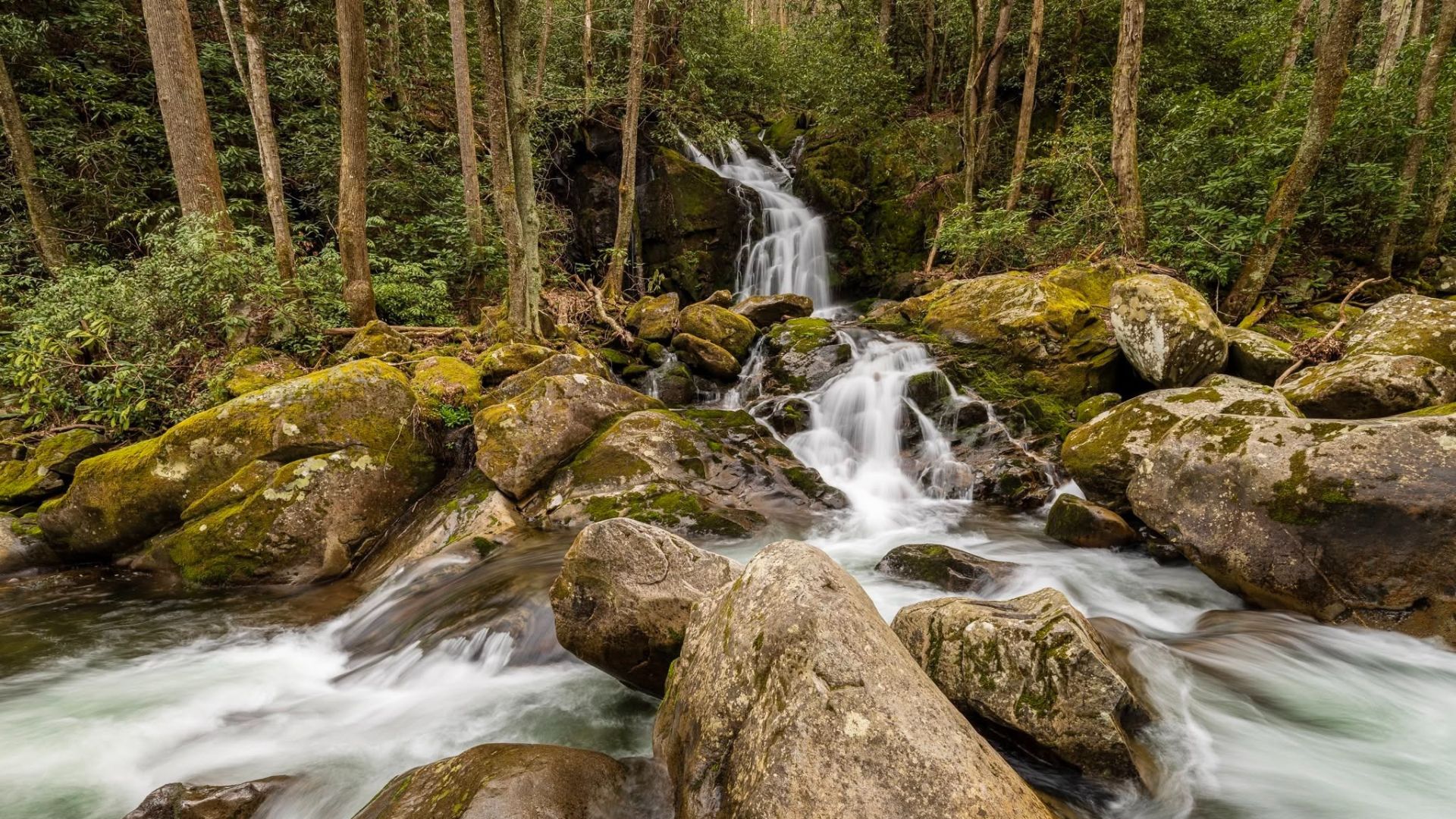
A short side path on the left leads to a log bench with a view across Big Creek to the falls. Mouse Creek Falls is a roughly 41-foot cascade that tumbles down the far bank and empties directly into Big Creek — a lovely, layered flow rather than a single plunge. The bench makes it a perfect turnaround spot to rest, snack, and photograph before the easy, mostly downhill walk back.
Note: The falls are across the creek from the trail, so you view them from the bench and bank rather than standing at their base — which keeps the scene pristine. The light is best earlier in the day for photos.
Getting there
The Big Creek area sits on the North Carolina side of the park, reached from Interstate 40. Take I-40 to Exit 451 (Waterville Road), cross the Pigeon River, and follow the road roughly 2 miles — continuing past the ranger station — to the large parking area near the Big Creek Picnic Area and Campground, where the trail begins. Parking, picnic tables, and seasonal restrooms are available at the trailhead.
From the Gatlinburg and Pigeon Forge side, plan on roughly 45 minutes to an hour of driving (via the Cosby/I-40 corridor). It's a bit farther than the Gatlinburg-side trails, but the quieter experience is the reward — and it pairs naturally with a day exploring the Cosby and Big Creek corners of the park.
Check road conditions before you go. The Interstate 40 corridor and the Waterville Road approach to Big Creek have been affected by storm-damage repairs and road construction, and traffic on the access road may be controlled by a temporary stoplight with short waits. Conditions in this area continue to change, so check the National Park Service site (nps.gov/grsm) and current I-40 travel info before making the drive, and allow extra time.
Safety and trail tips
- Don't climb on the falls or wet rocks. The rocks around Mouse Creek Falls and throughout the creek are slippery from mist and algae, and serious falls happen in the park every year. Enjoy the view from the bench and stable ground.
- Swim smart at Midnight Hole. It's a genuine mountain swimming hole with cold water, currents, and submerged rocks. Check depth before jumping, never swim alone, and supervise children closely — see our guide to the best (and safest) swimming spots in the Smokies.
- Wear proper shoes. Sections are rocky and can be muddy and slick when wet — hiking shoes with grip beat sneakers here.
- Watch for wildlife. This is bear country, and hikers occasionally spot rattlesnakes sunning on the trail in warm months. Keep your distance from any wildlife and never feed animals.
- Pack the basics. Water, a snack, and layers go a long way even on an easy hike. See our Smoky Mountain hiking pack list.
- Cell service is limited in the Big Creek area — download your map and tell someone your plan.
Best time to go
Mouse Creek Falls is beautiful year-round, but each season offers something different. Spring brings high water flow (the falls at their most powerful) and wildflowers along the creek. Summer is prime for swimming at Midnight Hole, with the shaded creek-side trail staying relatively cool. Fall adds color to the hike — the Big Creek valley is lovely in October. Winter offers solitude and, after a cold snap, occasional ice formations, though you'll want to confirm road access. For any visit, arrive early on weekends and warm-weather days, as the small trailhead lot fills and Midnight Hole draws crowds by midday.
For more of the park's cascades, see our guide to the most beautiful waterfalls in the Smoky Mountains, and for more trails, our best Smoky Mountain hikes.
Frequently asked questions
How long is the hike to Mouse Creek Falls?
About 4 miles round trip (2 miles each way) on Big Creek Trail, with roughly 540–600 feet of gradual elevation gain. Most hikers complete it in about 2 hours, plus time to enjoy the falls and the Midnight Hole swimming hole along the way. It's considered an easy-to-moderate hike.
Where is the Mouse Creek Falls trailhead?
At the Big Creek Trailhead and Picnic Area on the North Carolina side of Great Smoky Mountains National Park. Take I-40 to Exit 451 (Waterville Road), cross the Pigeon River, and follow the road about 2 miles past the ranger station to the parking area. It's roughly 45 minutes to an hour from Gatlinburg and Pigeon Forge.
Is the Mouse Creek Falls hike good for families and kids?
Yes — the gentle grade on an old railroad bed makes it one of the more family-friendly waterfall hikes in the park, and the Midnight Hole swimming hole partway in is a big hit with kids in warm weather. Just supervise children closely around the water and on slippery rocks.
Can you swim at Midnight Hole?
Yes — Midnight Hole, about 1.4 miles in, is one of the park's most popular swimming holes, a deep pool beneath a small waterfall. The water is cold and there are currents and submerged rocks, so check depth before jumping, don't swim alone, and watch children carefully. Swimming in park waters is at your own risk.
How tall is Mouse Creek Falls?
The National Park Service lists Mouse Creek Falls at about 41 feet. It's a cascading waterfall that flows down the far bank of Big Creek and empties directly into the stream, viewed from a log bench on a short side path off the main trail.
Is the road to Big Creek open?
The I-40 corridor and the Waterville Road approach have been affected by storm-damage repairs, and access to the trailhead may involve road construction and a temporary traffic light. Conditions change, so check nps.gov/grsm and current I-40 travel information before you drive, and allow extra time.
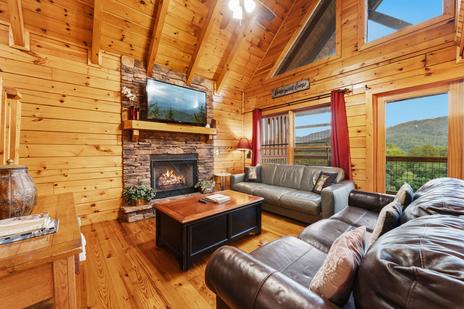
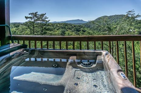
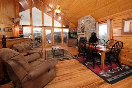
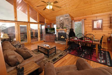
Make the quiet side of the park an easy day trip. Browse Colonial Properties' cabins near the national park — a comfortable home base for Mouse Creek Falls and the Smokies' best hikes.