Driving to Pigeon Forge, TN: Directions from Every Major City
Published Mar 31, 2020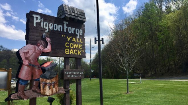
Getting to Pigeon Forge is straightforward — the town sits just off Interstate 40, within a day's drive of roughly two-thirds of the U.S. population. Here's exactly how to get here, the alternate route that skips the worst traffic, and what to expect on the drive in.
Where is Pigeon Forge, Tennessee?
Pigeon Forge is in Sevier County in East Tennessee, about 33 miles southeast of Knoxville. It sits on the Parkway between Sevierville (4 miles north) and Gatlinburg (5 miles south), and it's roughly 5 miles from the Sugarlands entrance to Great Smoky Mountains National Park. Three interstates feed the region — I-40, I-75, and I-81 — all connecting to town via State Route 66 and US Highways 441, 411, and 321. The town runs on Eastern Time.
Driving directions to Pigeon Forge
The main route for nearly everyone is the same: take Interstate 40 to Exit 407 (Sevierville/Kodak), just east of Knoxville. From the exit, turn onto TN-66 South (Winfield Dunn Parkway) and follow it about 8 miles into Sevierville, where it becomes US-441 (the Parkway). Continue south through Sevierville and you'll arrive in Pigeon Forge — roughly 13 miles from the exit.
Directions by region:
From the north (Cincinnati, Lexington, Detroit, Indianapolis): I-75 South to Knoxville, then I-40 East to Exit 407, then TN-66 South.
From the west (Nashville, Memphis): I-40 East to Exit 407, then TN-66 South.
From the east (Asheville, Charlotte): I-40 West to Exit 407, then TN-66 South.
From the northeast (Washington D.C., Roanoke): I-81 South to I-40 East, then to Exit 407 and TN-66 South.
The alternate route that skips Parkway traffic
The Parkway through Sevierville and Pigeon Forge is a six-lane road that can get heavily congested on summer weekends, holidays, and fall foliage weekends. If you're arriving during a peak period, an alternate route bypasses the worst of it: take I-40 to Exit 435 and follow US-321 South through Maryville and Townsend, then Wears Valley Road, which brings you into Pigeon Forge at traffic light #3. It's a slightly longer but far more scenic drive, and it avoids the stop-and-go on the main Parkway.
Two more local bypasses worth knowing once you're close: Veterans Boulevard (TN-449) and Teaster Lane both run parallel to the Parkway and can save time getting to the south end of town. If you're headed to a Colonial Properties cabin on Veterans Blvd, your GPS may route you off the Parkway onto one of these — follow it; the side roads move faster than the strip during busy hours.
Popular scenic drives near Pigeon Forge
Once you've arrived, some of the region's best experiences are the drives themselves. The scenic drives through the national park — Cades Cove Loop, Newfound Gap Road, the Roaring Fork Motor Nature Trail, and the Foothills Parkway — are all within easy reach and worth a dedicated morning or afternoon. The Foothills Parkway in particular connects to Pigeon Forge via Wears Valley Road, so the scenic alternate route in doubles as a preview of the views.
Flying in? The closest airport
The nearest commercial airport is McGhee Tyson Airport (TYS) in Alcoa, about 40 to 47 miles from Pigeon Forge — a drive of roughly 45 to 60 minutes depending on traffic. It's served by several major airlines with direct flights from hubs including Atlanta, and rental cars are available on site. For a full breakdown of airline service and alternate airports, see our guide to the closest airport to Gatlinburg and Pigeon Forge.
What to expect when driving to Pigeon Forge
The final stretch along the Parkway is a lively six-lane corridor lined with attractions, restaurants, and shops — part of the fun, but also the reason traffic backs up at peak times. The Parkway uses a numbered traffic-light system that locals use for directions: light #8, for example, marks Dollywood Lane. Knowing your destination's nearest light number makes navigation much easier. Tennessee law requires all vehicle occupants to wear seat belts. Check the Tennessee Department of Transportation's SmartWay map for construction or traffic delays before you set out, especially in summer and fall.
Getting around once you're here
You don't necessarily need your car for everything once you arrive. The Fun Time Trolley runs throughout Pigeon Forge and connects to Gatlinburg and Sevierville — an easy, inexpensive way to reach attractions without fighting for parking. See our guide to getting around on the Pigeon Forge Trolley for routes and stops.
Frequently asked questions
What exit do I take for Pigeon Forge off I-40?
Exit 407 (Sevierville/Kodak), just east of Knoxville. From the exit, take TN-66 South (Winfield Dunn Parkway) through Sevierville, where it becomes US-441/the Parkway and continues into Pigeon Forge — about 13 miles total from the interstate.
How far is Pigeon Forge from Knoxville?
About 33 miles southeast of Knoxville, or roughly 45 minutes to an hour by car depending on traffic. From McGhee Tyson Airport in Alcoa, it's about 40 to 47 miles and a 45- to 60-minute drive.
How do I avoid traffic driving into Pigeon Forge?
During peak weekends, skip the Parkway by taking I-40 Exit 435 to US-321 South through Maryville and Townsend, then Wears Valley Road into Pigeon Forge at traffic light #3. Once in town, Veterans Boulevard and Teaster Lane run parallel to the Parkway and often move faster than the main strip.
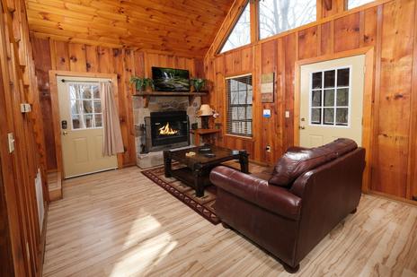
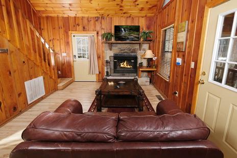
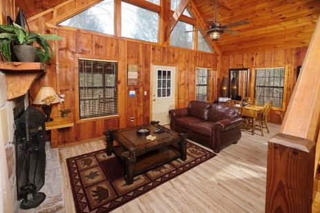
Ready to plan your stay? Browse Pigeon Forge cabin rentals — many just minutes off the Parkway via the Veterans Blvd bypass.