Top 4 Winter Trails to Hike Near Our Pigeon Forge Cabins
Published Jan 31, 2025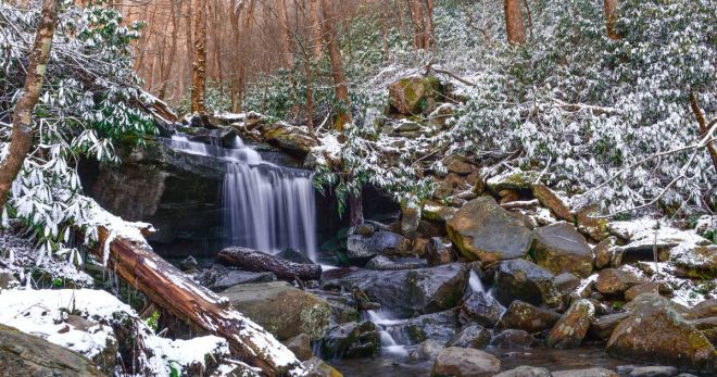
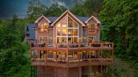
Great Smoky Mountains National Park has 800 miles of maintained hiking trails, and the national park entrance is 15–20 minutes from most Pigeon Forge cabin locations. Winter changes the experience in ways that make it genuinely better for hiking: the trails are quieter, the waterfalls are at peak flow from winter runoff, and the leaf-off canopy opens mountain views that summer foliage blocks entirely. Here are four trails worth planning a winter day around.
Before you go: Check road and trail conditions at nps.gov/grsm before your hike — some higher-elevation roads close in icy conditions. Dress in layers, wear waterproof footwear with good grip, and start early. A national park parking tag ($5 per day) is required at designated trailhead areas.
1. Porters Creek Trail
Porters Creek Trail is the winter hiking recommendation for families and anyone who wants a productive day on the trail without committing to significant elevation gain. The first mile is a nearly flat gravel road through a forest corridor — wide enough to walk side by side, gentle enough for children with reasonable hiking shoes. The trail passes through the Greenbrier area, one of the most historically rich sections of the national park: a cemetery dating to the early settlement period, the remains of old homesteads, stone walls that mark the boundaries of farms that operated here before the park was established.
The payoff at 1.85 miles is Fern Branch Falls, a series of cascades tumbling through a hemlock-lined hollow. In winter at peak flow from snowmelt and rain, the falls are significantly more dramatic than their summer version. Wildlife is active and more visible along the creek corridor in the leaf-off season — deer, turkeys, and the occasional fox are common sightings on an early morning winter hike here. The Greenbrier Cove trailhead is reached via Greenbrier Road off US 321, approximately 6 miles from Gatlinburg.
2. Metcalf Bottoms Trail
Metcalf Bottoms is the short, flat, historically rich trail near Pigeon Forge — a 1.5-mile round trip through old-growth bottomland forest along the Little River to the Little Greenbrier Schoolhouse, a log structure built in 1882 that served the surrounding mountain community as both schoolhouse and church. It's the most intact historic structure accessible on a short trail in this section of the park, and in winter — quiet, the forest bare, the light reaching the forest floor at angles it can't manage in summer — the walk has a specific quality that makes the schoolhouse arrival feel more poignant.
The trail begins at the Metcalf Bottoms picnic area on Little River Gorge Road, approximately 18 miles from Pigeon Forge via Wears Valley Road. The flat terrain and short distance make it appropriate for most fitness levels; the dirt path has roots that make it unsuitable for strollers or wheelchairs. An early start on a winter weekday nearly guarantees the trail to yourself — Metcalf Bottoms in summer is busier than its length suggests.
3. Laurel Falls Trail
Laurel Falls is the most-visited waterfall trail in Great Smoky Mountains National Park — and in summer, that shows. Winter changes the equation entirely. The paved 2.6-mile round trip trail, which carries hundreds of visitors per hour on a summer Saturday, becomes a quiet winter walk where you're likely to have stretches entirely to yourself. The falls themselves — a 75-foot two-tier cascade — are at maximum volume in winter, fed by runoff from the higher elevations. On cold snaps after a freeze, ice formations build along the rock face and in the spray zone below the falls, creating a version of the waterfall that no summer visitor sees.
The trail gains about 300 feet of elevation gradually over 1.3 miles — gentle enough for most hikers, steep enough in icy conditions to warrant microspikes or traction devices if a hard freeze has occurred. Check trail conditions at nps.gov/grsm before the hike if overnight temperatures have been below 25°F. The Fighting Creek Gap trailhead is on Little River Gorge Road, approximately 20 minutes from Pigeon Forge.
4. Alum Cave Trail (to Alum Cave Bluffs)
Alum Cave Trail is the most geologically distinctive hike accessible from Pigeon Forge — a 2.2-mile ascent to Alum Cave Bluffs, an overhanging concave rock formation that creates a sheltered space beneath its massive arch, with the Smokies ridgeline visible through the arch from the bluffs' viewpoint. In winter, icicles form along the bluff line in elaborate formations that can span the entire length of the arch — one of the most distinctively winter sights in the national park, available only when temperatures have been cold enough to build the ice.
The trail passes through old-growth forest, crosses Alum Cave Creek multiple times on log bridges, and gains approximately 1,200 feet of elevation to the bluffs. The terrain is moderate — not a casual walk, but well within reach for hikers in reasonable condition with appropriate footwear. The log bridges can be icy in winter; traction devices are worth carrying even when conditions look clear. The trailhead is on Newfound Gap Road (US 441), 8.5 miles from the Sugarlands Visitor Center near Gatlinburg, approximately 35 minutes from Pigeon Forge.
Note: The full trail continues 5.5 miles to the summit of Mt. LeConte — a strenuous 11-mile round trip that requires significantly more preparation and a full day. The bluffs at 4.4 miles round trip are the winter destination for most hikers; the summit extension is an advanced objective best attempted with experience and proper winter gear.
Winter Hiking Tips for the Smokies
Start early. Winter daylight is shorter — sunrise is around 7:30 AM and sunset around 5:30 PM in January. Starting at the trailhead before 9 AM gives you the best light, the quietest conditions, and enough daylight to finish unhurried.
Dress in layers. Trail temperatures can drop 10–15°F from the trailhead to the higher elevations. A moisture-wicking base layer, an insulating mid-layer, and a windproof outer shell covers the range. Avoid cotton — it loses insulating value when wet.
Carry traction devices. Microspikes or Yaktrax fit over hiking boots and make icy trail sections safe rather than treacherous. They're lightweight, inexpensive, and worth bringing on any winter hike where overnight temperatures have been below freezing.
Tell someone where you're going. Leave your trailhead and return time with someone who isn't on the hike. Cell service is limited to nonexistent on most national park trails.
Frequently Asked Questions
Is it safe to hike in the Smoky Mountains in winter?
Yes — with appropriate preparation. Waterproof boots with good traction, layered clothing, traction devices for icy conditions, an early start, and a check of current trail conditions at nps.gov/grsm before heading out cover the main safety considerations. The lower-elevation trails (Porters Creek, Metcalf Bottoms, Laurel Falls) are the safest winter options; higher-elevation trails require more experience and preparation in freezing conditions.
Is there an entry fee for the national park?
No — Great Smoky Mountains National Park has no entry fee. A parking tag is required at designated trailhead parking areas: $5 per day or $15 per week, purchased at automated kiosks at park entrances. The America the Beautiful pass does not cover the parking tag.
Which trail is best for young children in winter?
Porters Creek Trail is the best family option — the first mile is nearly flat, wide, and gravel-surfaced, with the historic homesteads and cemetery holding children's attention along the way. Metcalf Bottoms is the shortest and flattest option at 1.5 miles round trip. Laurel Falls is paved and accessible for older children. Alum Cave Trail is moderate and suitable for fit older children and teenagers.
What should I do when I get back from a winter hike?
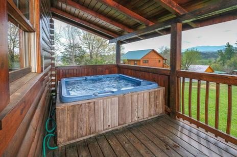
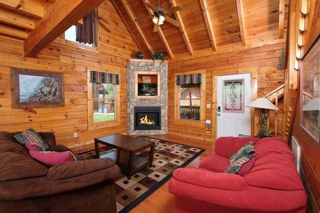
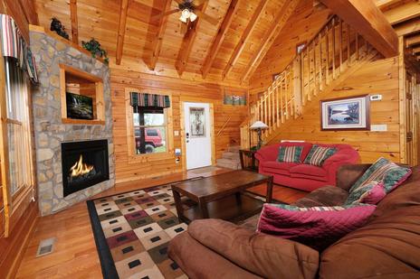
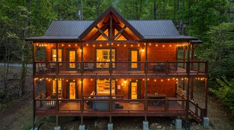
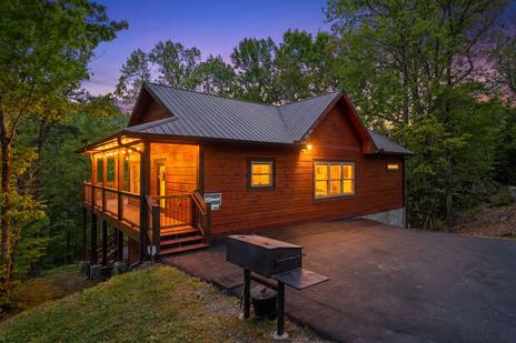
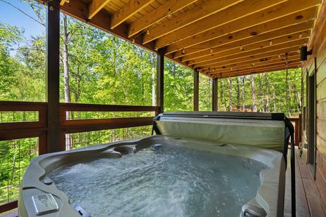
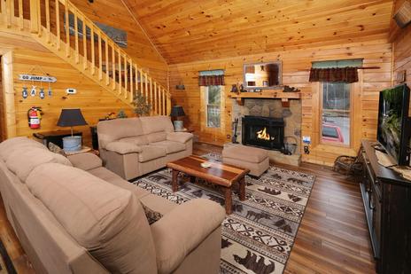
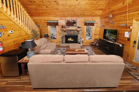
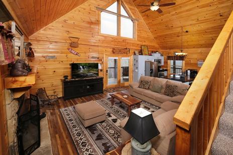
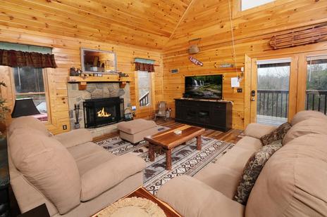
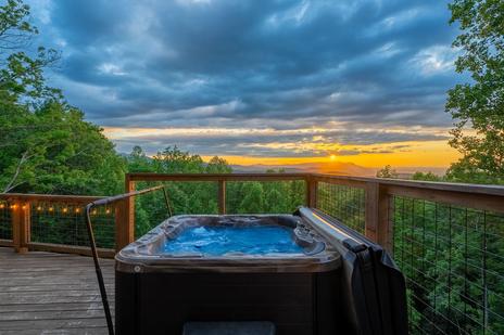
Return to the cabin. The combination of a cold-weather hike and a hot tub at the end of it is the most satisfying version of a Smoky Mountain winter day — the hot tub earns its place specifically because you earned it. Browse hot tub cabins and fireplace cabins for the full post-hike experience.