6 Secret Treasures in the Great Smoky Mountains National Park
Published Jun 22, 2022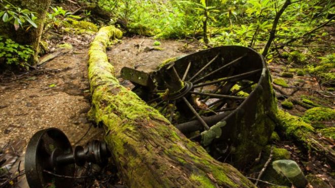
Great Smoky Mountains National Park's 800-plus miles of trail contain dozens of destinations that never appear on standard visitor guides. These six are genuinely inside the park — not on the Parkway, not in the resort corridor — and each one rewards hikers who are willing to look beyond the named overlooks and popular waterfalls.
The Elkmont Troll Bridge
The Elkmont Troll Bridge is a stone, moss-covered arch bridge tucked into the Elkmont area near the Elkmont Campground — a remnant of the original Elkmont community that settled in the mid-1800s and later became a wealthy resort town before the national park absorbed it. The bridge crosses a small creek, and its combination of old European stonework and heavy moss growth gives it a genuinely storybook appearance that photographs well in every season. To find it: hike the Little River Trail from the Elkmont trailhead, and look for a small side path on the right approximately 100 feet in. The path leads directly to the bridge, which has been cleaned up and fully restored by park staff. The Little River Trail is 4.9 miles round trip; the Troll Bridge is reached in less than five minutes from the trailhead, making it accessible even without a full hike commitment.
The Steam Engine Wreck
In Injun Creek, off the Grapeyard Ridge Trail in the Greenbrier area, lies the remains of a 1920s-era Nichols and Shepard traction engine — a self-propelled steam-powered machine that was being used to power a lumber saw for the Greenbrier School. On its return trip, the driver lost control on a switchback, and the machine rolled down the mountainside into the creek below, where it has remained ever since. The steam engine sits partially submerged in the creek bed, heavily rusted and covered with moss and vegetation, with the mechanical components still identifiable more than a century later. The Grapeyard Ridge trailhead is accessible from Greenbrier Road in the Greenbrier area east of Gatlinburg on US-321. The engine is at approximately 2.85 miles on the 5.8-mile round trip trail — a moderate hike through old-growth forest with multiple creek crossings.
The Pearl Harbor Tree
In Cades Cove, off the Abrams Falls Trail, stands a large American chestnut tree — a species that was functionally extinct across the eastern United States by the 1950s due to the chestnut blight that swept through Appalachian forests beginning in 1904. The tree has survived at Cades Cove's elevation and relative isolation longer than virtually any other specimen in the region, and it was noted and documented on December 7, 1941 — Pearl Harbor Day — which gave it its name. Finding it requires knowing to look: it's off the main trail on the approach to Abrams Falls, identifiable by its distinctive corrugated bark. American chestnuts were once the dominant tree of the Appalachian forest; standing near one of the few surviving specimens is a genuinely unusual encounter with natural history.
Gregory's Cave
Near the Gregory Bald trailhead in Cades Cove, a cave entrance opens in the hillside above the trail — a limestone cave that was known to the pre-park Cades Cove community and used for shelter and storage. The cave is named for the Gregory family, early settlers of the Cove. The entrance is accessible from the Gregory Ridge Trail approach and is worth a brief stop before or after a Gregory Bald hike. The cave interior is shallow — it's a limestone pocket rather than a deep cavern — but the entrance is striking and the view back toward the Cove from the cave opening is genuinely interesting. The cave sits in a geological context that explains a great deal about the Cades Cove valley itself: the Cove's open character is a direct result of the soluble limestone that underlies it, which weathers to form a flat valley floor rather than the ridged terrain of the surrounding sandstone and metamorphic rock.
The Walker Sisters Cabin
The Walker Sisters Cabin on the Little Brier Gap Trail in the Greenbrier area is one of the most remarkable historic sites in the national park — and one of the least visited. Five unmarried sisters of the Walker family refused to leave their homestead when the park was established in the 1930s, continuing to live in the original two-story log cabin without electricity or running water until the last surviving sister died in 1964. The cabin, outbuildings, and surrounding cleared land are in exceptional preservation, maintained by the park service as a historic site. The hike to the cabin is 2.6 miles round trip from the Little Greenbrier School trailhead — a gentle walk through old-growth forest that ends at a family homestead so intact it feels inhabited. The Walker Sisters wrote and published poetry about their mountain life; a plaque near the cabin documents their history.
The Hyatt Lane Ruins
Hyatt Lane is a dirt road that cuts across the interior of the Cades Cove loop — a shortcut for motorists but, more interestingly, a corridor through several abandoned homestead sites that are off the main loop road and largely unvisited. The ruins along Hyatt Lane include chimney remnants, old stone walls, collapsed outbuildings, and cleared land where families farmed before the park's establishment. Because Hyatt Lane is a driving shortcut rather than a named trail, most Cades Cove visitors pass through without stopping to look at what's alongside the road. Walking a section of Hyatt Lane slowly — or stopping the car to examine the stone structures in the vegetation — reveals a layer of settlement history that the maintained historic structures on the main loop don't show. Hyatt Lane connects from the first third of the loop to the Cable Mill area and is accessible to any vehicle using the loop road.
Frequently asked questions
Do I need a permit or special access to find these spots?
No permit is required for any of these destinations. All are accessible with standard day-use park access and a Park It Forward parking tag ($5/day, $15/week, $40/annual). None of the sites are officially signed or on park interpretive maps — you find them by knowing where to look, which is part of the experience.
Can I touch or remove anything at these historic sites?
No — removing or disturbing any artifact, structure, or natural material from a national park is a federal offense. This applies to all six sites above. The steam engine, cabin walls, stone bridges, and any other physical elements are protected cultural resources. Photograph everything; take nothing.
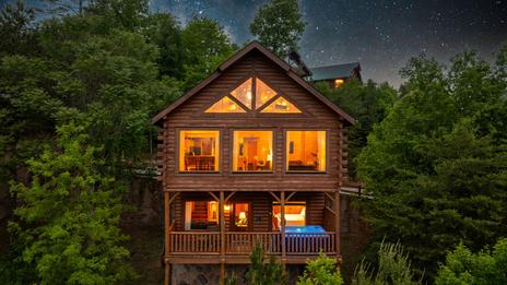
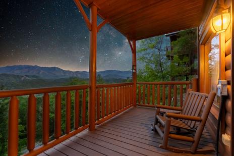
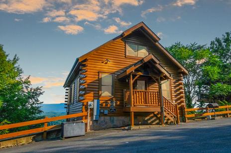
A Wears Valley cabin rental or Gatlinburg cabin puts you close to the Greenbrier and Cades Cove trailheads where most of these discoveries begin.