Rainbow Falls Trail: A Complete Guide
Published Nov 16, 2026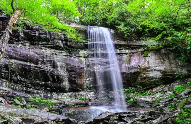
Rainbow Falls earns its name honestly: on a sunny afternoon, mist rising off the base of the falls catches the light and throws a rainbow across the spray. Getting there takes work — this is a steep, rocky climb, not a casual stroll — but the payoff is one of the most striking waterfalls in the Smokies, reached on a classic trail just minutes from Gatlinburg. For hikers ready for a real climb, it's one of the best waterfall hikes in the national park. Here's everything you need to know before you go.
It's also a trail to respect. The steepness, the rocky footing, and the crowds all reward a bit of planning, so this guide covers the practical side as much as the scenery.
The quick facts
The hike to the falls is about 5.6 miles round trip with roughly 1,500 feet of elevation gain — a relatively steep, well-traveled, and well-maintained trail that climbs steadily the whole way up. Most hikers spend a good part of a day on it. The trailhead is on Cherokee Orchard Road, in the Roaring Fork area just outside Gatlinburg. Because trail conditions and access can change, check the current National Park Service information before you go.
What the hike is like
The trail climbs almost continuously from the trailhead to the falls, following and crossing the mountain stream as it gains elevation. It's rocky and steep in stretches, which is what makes it a moderate-to-strenuous outing rather than an easy one — you'll feel the climb, and the footing demands attention. Along the way you'll pass through beautiful forest, including old-growth trees, and see burn scars from the 2016 fires, now greening over, a visible reminder of the mountains' resilience.
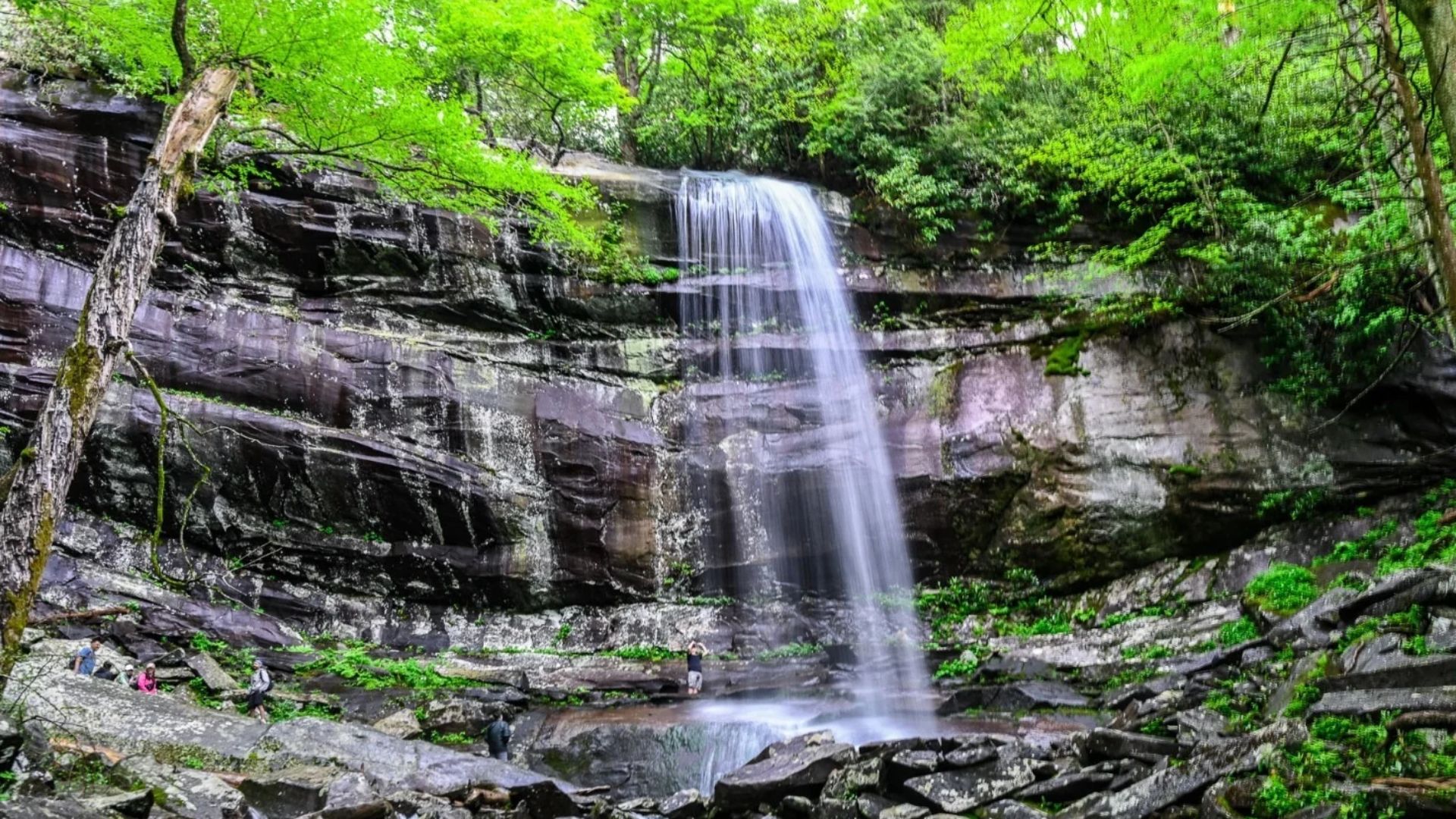
Then you reach the falls: a tall, free-falling cascade dropping over a rock ledge, with the trail crossing a footlog right at its base. On a clear, sunny afternoon, the mist at the bottom is where the magic happens — the light catches the spray and a rainbow shimmers across it. It's a genuinely memorable sight and the reason this trail is on so many Smokies must-do lists.
Timing it for the rainbow
The rainbow isn't guaranteed — it needs the right conditions. Your best chance is a sunny afternoon, when the sun is positioned to hit the mist at the base of the falls. An overcast day still gives you a beautiful waterfall, just without the rainbow, and after heavy rain the falls run fuller and more dramatic. If the rainbow is your goal, aim for a bright afternoon and a bit of luck.
Parking and getting there
This is the part to plan around. The Rainbow Falls trailhead on Cherokee Orchard Road has limited parking and gets extremely crowded, especially on weekends and in peak season — lots fill early. Arrive early in the day for the best shot at a space, and have a backup plan; the park sometimes suggests a shuttle for popular trailheads like this one. Remember that a national park parking tag is required to park for more than fifteen minutes, so have one before you go.
Making it a longer hike: Mount LeConte
Rainbow Falls isn't just a waterfall trail — it's also one of the routes up Mount LeConte, one of the highest and most beloved peaks in the Smokies. LeConte is a serious, much longer day (the summit is well beyond the falls), so it's for experienced, well-prepared hikers only. But if you've got the legs and the daylight, continuing past the falls toward LeConte is one of the park's great climbs. For most visitors, though, the falls themselves are the perfect turnaround point.
Tips for your hike
Start early — for parking, for the afternoon rainbow light on the way back, and to beat the crowds on the trail.
Wear real hiking shoes — the trail is rocky and steep, and good traction matters, especially near the wet rock at the falls.
Bring water and snacks — it's a real climb with meaningful elevation gain; pack more water than you think you'll need.
Check the weather and conditions — a sunny afternoon for the rainbow, and never in icy conditions unless you're equipped for them.
Give yourself time — this isn't a quick hike. Plan for a good chunk of the day and don't rush the descent.
Frequently asked questions
How long is the Rainbow Falls hike?
About 5.6 miles round trip with roughly 1,500 feet of elevation gain. It's a steep, steady climb that takes most hikers a good part of a day, so it's a moderate-to-strenuous outing rather than an easy walk.
When can you see the rainbow at Rainbow Falls?
On sunny afternoons, when the light hits the mist at the base of the falls. It isn't guaranteed and depends on the sun and spray, so aim for a bright afternoon. The waterfall is beautiful either way, and runs fuller after rain.
Where is the trailhead and is parking hard?
On Cherokee Orchard Road in the Roaring Fork area near Gatlinburg. Parking is limited and gets extremely crowded, so arrive early and have a backup plan. A parking tag is required to park for more than fifteen minutes.
Is Rainbow Falls Trail safe?
It's a well-maintained trail, but the rocks around the falls are dangerously slippery and have caused serious accidents — never climb on or above the waterfall. In cold weather the falls and trail can ice over, so check conditions and skip it in ice unless you're properly equipped.
Can you hike to Mount LeConte from here?
Yes — Rainbow Falls Trail is one of the routes to the summit of Mount LeConte, but that's a much longer, strenuous day for experienced, well-prepared hikers. For most visitors, the falls make a perfect turnaround.
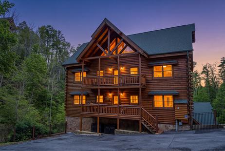
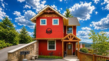
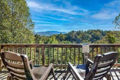
A big waterfall hike is best with a comfortable cabin waiting at the bottom. Find a Gatlinburg cabin near the Roaring Fork and Cherokee Orchard area, and plan more of your hikes with our guides to the Smokies' best waterfalls and best hikes with a view.