Interesting Facts About Mount LeConte
Published Jul 1, 2022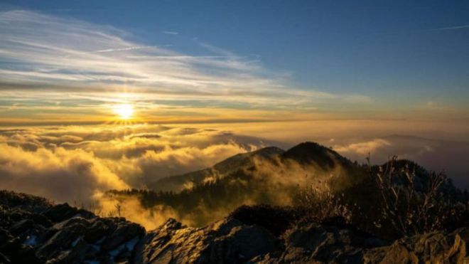
Mount LeConte is the most prominent mountain visible from Gatlinburg — the high ridge that defines the southern skyline above town. At 6,593 feet, it's the third highest peak in Great Smoky Mountains National Park, and it's one of the few peaks in the eastern United States that can be reached by five different trail routes from a single base. Here's what makes it worth knowing about before you visit.
The elevation — and why it matters
Mount LeConte's summit at 6,593 feet places it third among the peaks of the Smokies, behind only Kuwohi (Clingmans Dome, 6,643 feet) and Mount Guyot (6,621 feet). What makes LeConte's elevation distinctive is its vertical relief — the mountain rises approximately 5,300 feet above its base near Gatlinburg, giving it one of the greatest vertical rises of any peak in the eastern United States measured from its immediate surroundings. The temperature at the summit runs 15 to 20 degrees cooler than Gatlinburg's valley floor on any given day, which means a summer hike that begins in 80-degree heat can end at 60 degrees with wind. Pack layers even for July LeConte hikes.
Five trail routes to the summit
More trails reach Mount LeConte's summit than any other peak in the Smokies. Each offers a distinct character and difficulty profile:
Alum Cave Trail — the most popular route, 10.6 miles round trip, passing Arch Rock, Alum Cave Bluffs at 2.3 miles, and a series of ridge exposures with open views in the upper section. The most direct and most trafficked approach.
Rainbow Falls Trail — 13.4 miles round trip, passing the 80-foot Rainbow Falls cascade before climbing steeply to the summit. The waterfall is the trail's signature feature on the approach.
Bull Head Trail — 10.8 miles round trip from the Cherokee Orchard trailhead, ascending the mountain's prominent western ridge. Less crowded than Alum Cave, with open ridge views in the upper section.
Trillium Gap Trail — 13.4 miles round trip from the Grotto Falls trailhead, passing Grotto Falls before climbing through the forest to the summit. The trail that the llama pack train uses to supply LeConte Lodge — you may encounter llamas on this route.
Boulevard Trail — accessible only from the Appalachian Trail at Newfound Gap, adding 5.4 miles to the Newfound Gap approach. A high-ridge traverse that connects the AT to the summit through spruce-fir forest.
LeConte Lodge — the only backcountry lodge in the park
LeConte Lodge has operated continuously near the summit since 1926 — the only overnight accommodation inside Great Smoky Mountains National Park that is accessible only by trail. The lodge provides rustic cabin accommodations, kerosene lighting, propane heat, and meals; it has no electricity or running water. Guests must hike in and hike out, and all supplies are packed in by llama train on the Trillium Gap Trail. Reservations for LeConte Lodge open on a specific date each year and book out within minutes — the lodge is one of the most sought-after backcountry reservations in the national park system. A stay at LeConte Lodge puts you above the clouds on most mornings, watching sunrise from Myrtle Point or Cliff Top before hiking out.
Cliff Top and Myrtle Point — the summit viewpoints
LeConte's summit has two distinct viewpoints that provide dramatically different perspectives. Cliff Top, on the western edge of the summit, faces west toward Cades Cove and the Tennessee ridgelines — the classic sunset viewing location, where the sun sets directly over the layered ridges of the western Smokies. Myrtle Point, on the eastern edge, faces east toward the North Carolina mountains and provides the sunrise view, with the first light hitting the high country peaks across the state border. Both viewpoints are short walks from LeConte Lodge and accessible to any hiker who reaches the summit. Sunrise at Myrtle Point after an overnight at LeConte Lodge is among the more memorable experiences available in the Smokies.
The flora and fauna of the summit zone
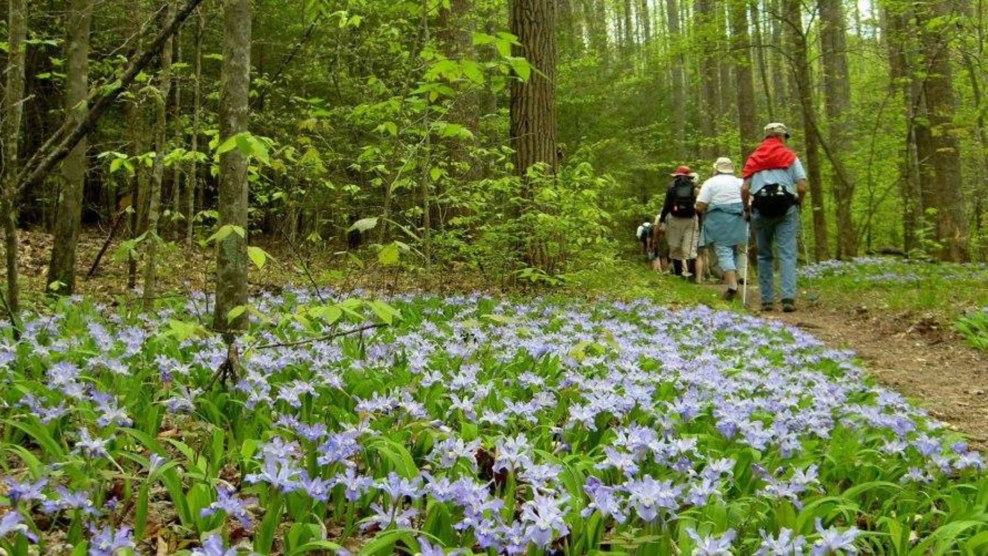
LeConte's high-elevation summit zone supports a boreal forest ecosystem — Fraser fir and red spruce — that is more characteristic of Canada than Tennessee. This cold, wet, cloud-shrouded environment hosts plant and animal species found nowhere else in the southern Appalachians. The saw-whet owl nests in the summit's dense fir forest. Northern flying squirrels — typically a northern species — are present at LeConte's elevation. The rich wildflower display on the lower Alum Cave Trail and Trillium Gap Trail includes trillium, wake-robin, and spring beauty in April and May. The upper elevation transition from hardwood to fir forest is one of the most visible and interesting ecological changes on any hike in the park.
The geological history
Mount LeConte's rock is among the oldest exposed rock in the eastern United States — Precambrian metamorphic rock formed roughly 800 million to 1 billion years ago during the collision of tectonic plates that created the proto-Appalachian mountain chain. The mountain's present form is the product of hundreds of millions of years of erosion: the original peaks were Himalayan in scale; what remains today is the resistant core that survived the erosive forces that wore away the surrounding softer formations. The exposed rock on LeConte's ridge and summit shows the grain and banding of the original metamorphic process, and the quartzite outcrops on Cliff Top are particularly resistant material that explains why the summit retains its elevation relative to the surrounding terrain.
LeConte and the Appalachian Trail
The Appalachian Trail passes through the vicinity of LeConte but does not summit the peak — the AT runs along the state line ridge to the south and connects to LeConte via the Boulevard Trail, a spur that drops from the AT at a junction near the summit. Through-hikers on the AT can add the LeConte summit as a side trip via the Boulevard approach. The AT in the Smokies section runs from Fontana Dam in the southwest to Davenport Gap in the northeast, and the LeConte area represents one of the highest and most exposed sections of the trail's entire length in the southern Appalachians.
Practical considerations before you go
Every approach to Mount LeConte is a strenuous day hike — the shortest routes are over 10 miles round trip with 2,600 to 3,600 feet of elevation gain depending on the trail. Start early, carry two liters of water per person, bring layers for summit conditions, and download an offline trail map before leaving the trailhead. A Park It Forward parking tag is required at all Smokies trailheads. The Alum Cave trailhead parking area on Newfound Gap Road fills before 9 AM on peak weekends — arrive before 8 AM for a guaranteed parking space, or use the park shuttle service from Gatlinburg when available.
Frequently asked questions
How hard is the hike to Mount LeConte?
Strenuous — all five routes are over 10 miles round trip with significant elevation gain. The Alum Cave Trail is the most manageable at 10.6 miles and 2,800 feet of gain, but it's still a full-day commitment for most hikers. LeConte is not appropriate as a casual day hike for visitors without regular hiking experience. Budget 6 to 8 hours for the round trip via Alum Cave, more for longer routes.
Can you stay overnight on Mount LeConte without the lodge?
Yes — LeConte Shelter is a backcountry shelter near the summit that accepts backcountry permit holders. The shelter has a limited number of spaces and requires a backcountry permit, available through the park's online reservation system. Backcountry camping at LeConte Shelter is popular and books quickly during peak season — reserve well in advance.
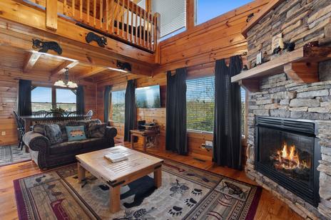
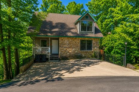
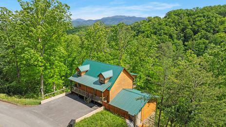
A Gatlinburg cabin rental puts you minutes from the Alum Cave and Rainbow Falls trailheads — the two most popular approaches to LeConte's summit.