Alum Cave Trail to Mount LeConte: A Complete Trail Guide
Published Sep 7, 2026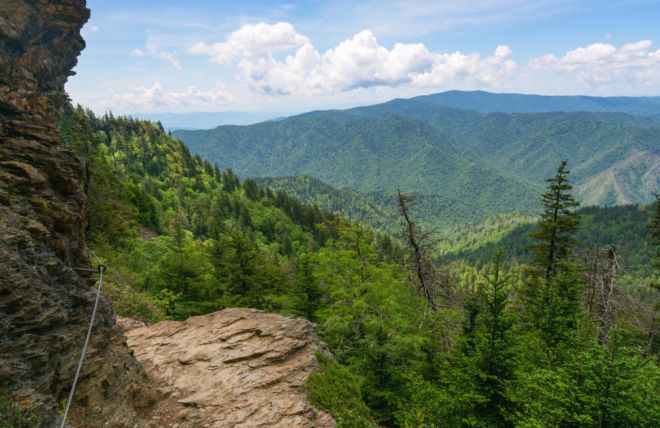
If you hike only one trail in Great Smoky Mountains National Park, make it Alum Cave Trail. It's the most scenic and popular route to the summit of Mount LeConte — the third-highest peak in the Smokies — and it packs more genuine highlights per mile than almost any trail in the eastern United States: a natural stone arch you climb through, a panoramic overlook, a massive concave bluff, cable-assisted ledges with sweeping views, and a summit crowned by the only formal lodge in the park. This guide covers both ways to hike it — the moderate half-day to Alum Cave Bluffs and the strenuous full-day push to the summit.
- To Alum Cave Bluffs: 4.6 miles round-trip · Moderate · ~1,100 ft elevation gain · 3–4 hours
- To Mount LeConte summit: about 11 miles round-trip (NPS lists 10) · Strenuous · ~2,763 ft elevation gain · 6–8 hours
- Trailhead: Alum Cave Trailhead on Newfound Gap Road (US-441), 6.8 miles south of the Sugarlands Visitor Center
- Summit elevation: 6,593 feet (3rd highest peak in the Smokies)
- Best seasons: late spring through fall; winter requires traction devices
- Cost: free — a $5 daily parking tag is required for the trailhead lot
Two hikes in one trail
The single best thing about Alum Cave Trail is that it works as two completely different hikes depending on how far you go:
- Alum Cave Bluffs (4.6 miles round-trip) — a moderate half-day hike that still delivers the trail's two most photogenic landmarks, Arch Rock and the Bluffs. This is the right choice for families, casual hikers, and anyone short on time.
- Mount LeConte summit (about 11 miles round-trip) — a strenuous, full-day objective for fit hikers who want to reach one of the highest points in the park and, optionally, visit LeConte Lodge.
You can decide at the Bluffs. Many hikers set out planning to summit, reassess at the 2.3-mile mark, and turn around satisfied — the Bluffs are a genuine destination, not a consolation prize.
The trail, landmark by landmark
Mile 0 — Trailhead
The Grassy Patch start
The trail begins at the Alum Cave Trailhead parking area on Newfound Gap Road, with restrooms at the lot. The first stretch is a gentle warm-up along Walker Camp Prong and Alum Cave Creek, crossing several log footbridges through dense old-growth forest and rhododendron thickets. This first mile is the easiest of the whole hike — enjoy it.
Mile 1.4 — Arch Rock
Climb through the mountain
The trail's first showstopper. Arch Rock is a natural tunnel of black slate, formed over millennia by freeze-thaw erosion, and the trail goes directly through it — up a set of stone steps carved into the rock, with steel cable handrails to hold. It's a genuinely fun, slightly adventurous passage and one of the most photographed spots on the trail. Past Arch Rock, the trail gets noticeably steeper.
~Mile 2 — Inspiration Point
Your first big view
At roughly 4,700 feet, Inspiration Point is an open overlook that rewards you with the trail's first true panoramic views of the surrounding mountains and valleys. Look across to Little Duck Hawk Ridge — on a clear day you can spot the "Eye of the Needle," a small hole worn straight through the rock near the ridge top. It's the natural spot to catch your breath before the final push to the Bluffs.
Mile 2.3 — Alum Cave Bluffs
The halfway landmark
Despite the name, Alum Cave isn't a cave — it's a massive concave bluff, roughly 80 feet high and 500 feet long, overhanging the trail. It stays dry underneath even in rain, the temperature drops noticeably in its shade, and the views out over the valley are excellent. This is where the majority of hikers turn around for a 4.6-mile round-trip. If you're continuing to the summit, this is the decision point — everything beyond gets steeper and more exposed.
Miles 2.3–5.5 — The climb to the summit
Cables, ledges, and spruce-fir forest
Beyond the Bluffs the trail becomes genuinely strenuous, traversing narrow rock ledges where steel cables are bolted into the mountainside for safety. The forest shifts from hardwoods to the fragrant spruce-fir of the high country, and the views open up repeatedly across the range. The final stretch delivers you to the LeConte Lodge area and the summit zone at 6,593 feet — the third-highest peak in the park, behind only Kuwohi and Mount Guyot.
Summit tip: The actual high point (High Top) is wooded with limited views. For the best panoramas, walk the short additional spurs to Cliff Tops (best for sunset) and Myrtle Point (best for sunrise) near the lodge.
LeConte Lodge: the summit's hidden reward
Mount LeConte is home to LeConte Lodge — the only formal lodging inside Great Smoky Mountains National Park. There's no road to it; every guest, and every supply, arrives on foot or by the llama pack train that resupplies the lodge several times a week. The rustic cabins have no electricity or hot showers, and meals are served family-style in the dining hall. It's a genuinely special, off-the-grid experience — and precisely because it's so unusual, it books up extraordinarily far in advance.
Even if you're not staying overnight, day hikers can typically stop at the lodge office to buy a snack, a hot drink, or a bag lunch, and use the restroom — a welcome midpoint before the long descent.
Booking note: LeConte Lodge reservations open well ahead of the season and fill almost immediately, often via a lottery or first-come system. If an overnight stay is your goal, check leconte-lodge.com far in advance and be ready the day reservations open.
When to hike Alum Cave Trail
Spring (April–May): Wildflowers along the lower creek sections and rhododendron beginning to bloom. Cool, comfortable hiking temperatures. Occasional lingering ice at the highest elevations early in the season.
Summer (June–August): The high elevation is a genuine advantage — the summit runs 15–20°F cooler than the valley, making this one of the best hot-weather hikes in the park. Start early to beat both the crowds and afternoon thunderstorms.
Fall (October): Arguably the best time — foliage color climbs the mountain through the month, and the panoramic overlooks are at their most spectacular. Also the most crowded; arrive at the trailhead early.
Winter (December–March): The cable-assisted ledge sections and Arch Rock stairs become genuinely dangerous when iced over, and hikers are injured on this trail in winter conditions every year. Falling icicles from the Bluffs are an additional hazard. Do not attempt the upper trail in ice or snow without proper traction devices (microspikes) and experience. Check conditions at nps.gov/grsm before you go.
What to bring
- Water: at least 2 liters for the Bluffs, 3+ liters for the summit
- Sturdy footwear: the trail is rocky and rooty with wet sections and exposed ledges — hiking boots, not sneakers
- Layers: the summit is dramatically colder and windier than the trailhead; pack a jacket even in summer
- Rain gear: mountain weather changes fast, and the upper trail offers little shelter
- Headlamp: essential for the summit hike if there's any chance of returning near dusk
- Trekking poles: genuinely helpful on the steep, rocky descent
- Traction devices: non-negotiable in winter conditions
For a complete rundown, see our guide to backpack essentials for hiking the Smokies.
Parking and getting there
The Alum Cave Trailhead sits on Newfound Gap Road (US-441), 6.8 miles south of the Sugarlands Visitor Center just outside Gatlinburg — roughly a 20–25 minute drive from downtown. There are two parking areas at the trailhead, but this is one of the most popular trails in the entire park, and the lots fill early — often by 8–9 AM on weekends and throughout fall foliage season. A $5 daily parking tag (or a weekly/annual tag) is required for any stop over 15 minutes and can be purchased in advance at recreation.gov or at visitor centers.
Beat the crowds: Arrive at the trailhead by 7–8 AM, especially in October. An early start also gets you to the summit and back down before afternoon storms build — a real safety consideration on the exposed upper trail.
Where to stay near the trailhead
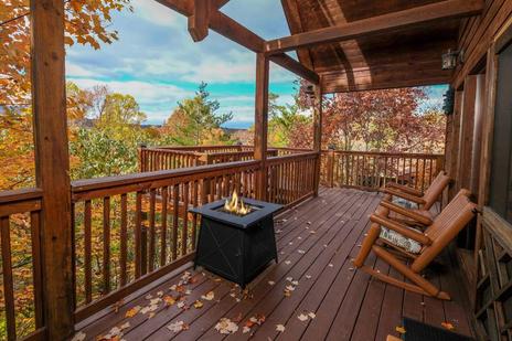
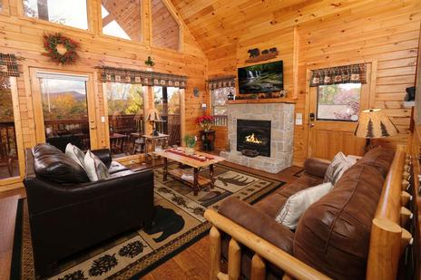
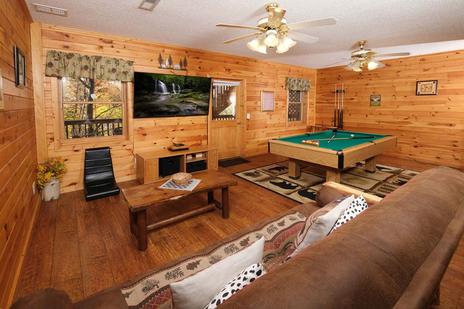
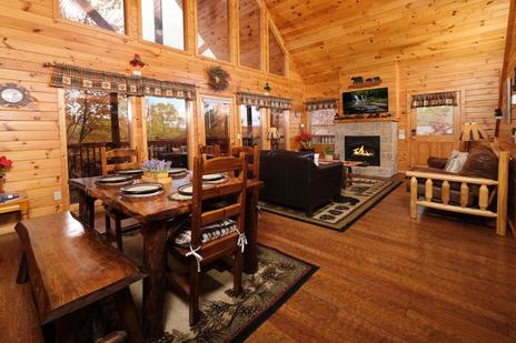
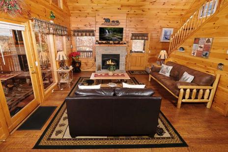
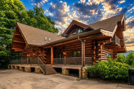
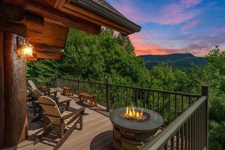
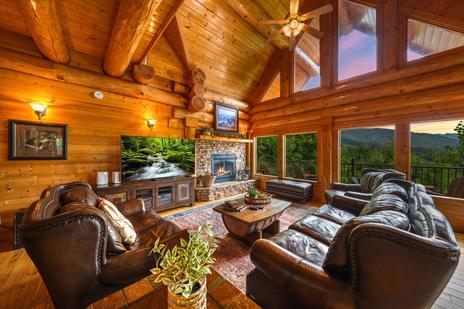
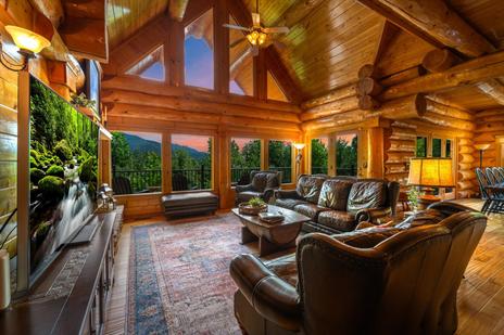
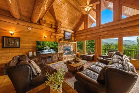
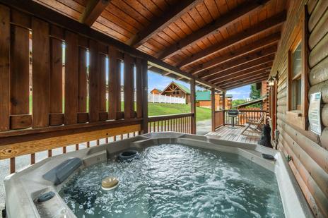
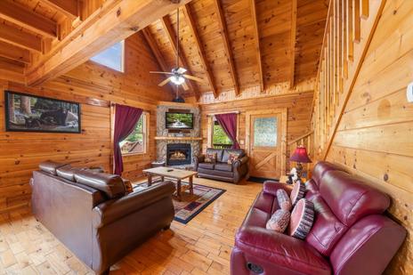
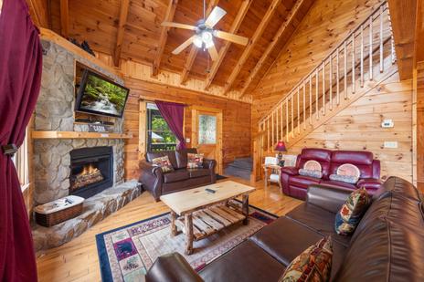
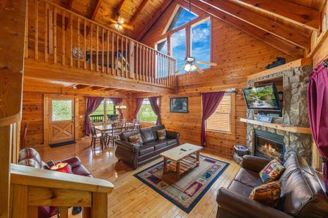
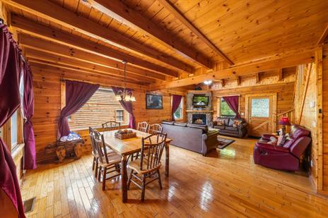
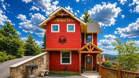
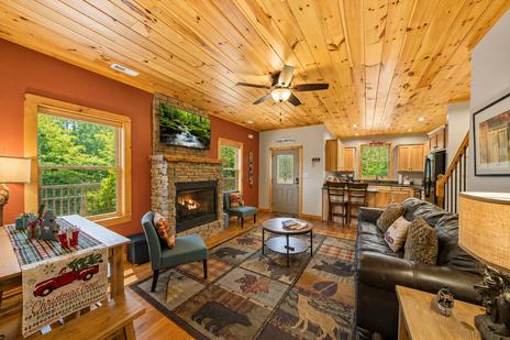
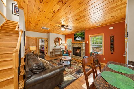
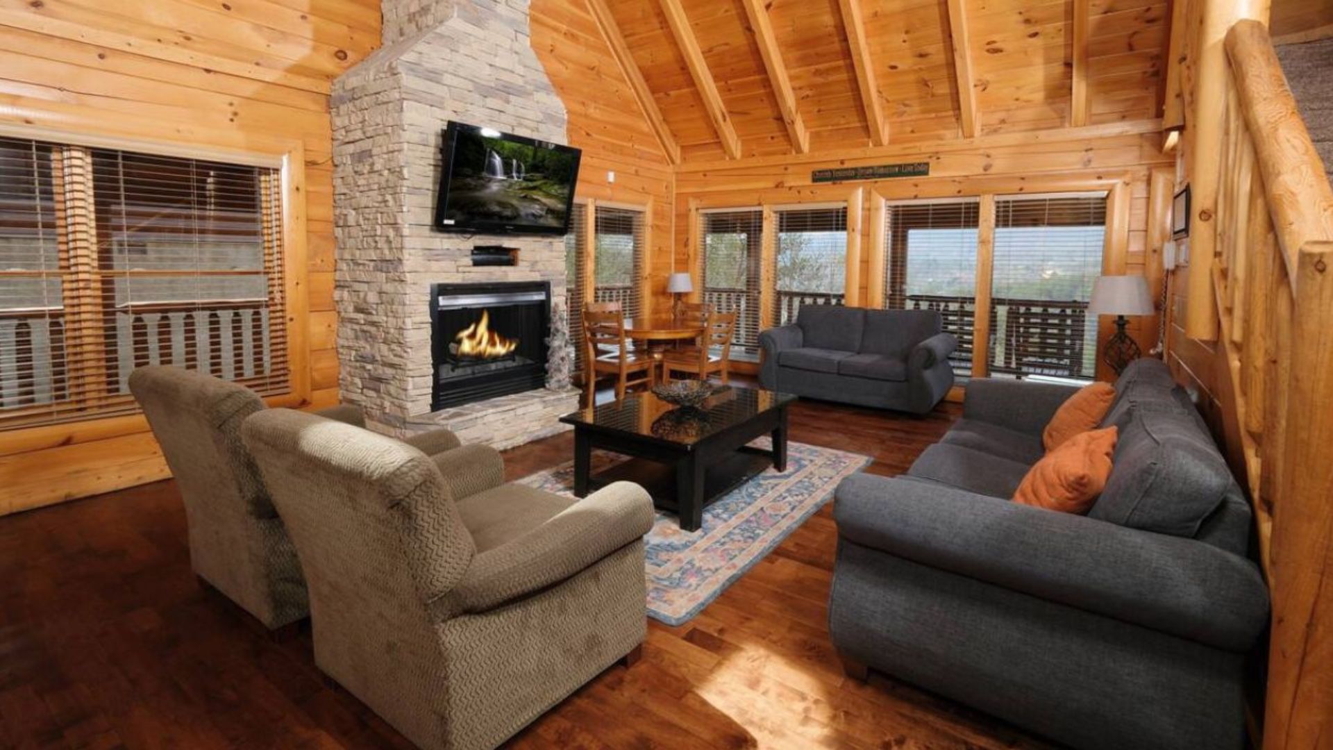
Alum Cave Trail is one of the closest major park trails to Gatlinburg — a cabin in the Gatlinburg area or near the national park entrance puts you 20–25 minutes from the trailhead, which matters when you're trying to arrive before the lot fills. A cabin base also means a full kitchen to fuel up before an early start and pack a summit lunch, plus a hot tub waiting for tired legs at the end of an 11-mile day. Browse Colonial Properties' Gatlinburg cabins and cabins near the national park for the closest trailhead access. For more trail ideas, see our guide to the best hikes in the Smokies for mountain views.
Frequently asked questions
How long is the Alum Cave Trail?
It depends on your destination. To Alum Cave Bluffs and back is 4.6 miles round-trip (moderate). Continuing to the summit of Mount LeConte makes it about 11 miles round-trip (the NPS lists 10), rated strenuous, with roughly 2,763 feet of elevation gain.
How hard is the hike to Mount LeConte?
Strenuous. The first half to Alum Cave Bluffs is moderate, but the upper trail to the summit is steep, rocky, and features exposed cable-assisted ledges. Allow 6–8 hours round-trip and come prepared with water, layers, and sturdy footwear.
Is Alum Cave actually a cave?
No — despite the name, Alum Cave Bluffs is a massive concave bluff, roughly 80 feet high and 500 feet long, overhanging the trail. It stays dry underneath and offers excellent valley views at the 2.3-mile mark.
Can you stay overnight on Mount LeConte?
Yes — LeConte Lodge is the only formal lodging inside the national park, accessible only on foot. The rustic cabins have no electricity or hot showers, and it books up far in advance. Check leconte-lodge.com and reserve as early as possible.
Where do I park for the Alum Cave Trail?
At the Alum Cave Trailhead on Newfound Gap Road (US-441), 6.8 miles south of the Sugarlands Visitor Center. The lots fill early — arrive by 7–8 AM on weekends and in fall. A $5 daily parking tag is required.
Can I hike Alum Cave Trail in winter?
Only with caution and proper gear. The cable sections and Arch Rock stairs become extremely dangerous when icy, and injuries occur every winter. Traction devices (microspikes) and experience are essential, and the upper trail should be avoided entirely in significant ice or snow. Always check nps.gov/grsm for conditions first.
Base your Smoky Mountain hiking trip minutes from the trailhead. Browse Colonial Properties' cabins near the national park — a full kitchen for your pre-hike breakfast and a hot tub for afterward.