Great Smoky Mountains National Park Map: Trails, Drives, and Picnic Spots
Published Sep 25, 2025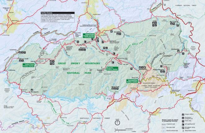
Great Smoky Mountains National Park is the most visited national park in the United States — more than 12 million recreational visits in 2024 — and free to enter. More than 520,000 acres across Tennessee and North Carolina, 848 miles of maintained trails, 10 campgrounds, 11 picnic areas, and the full range of Appalachian terrain from 875-foot creek valleys to the 6,643-foot summit of Kuwohi (formerly Clingmans Dome). Here's what to know before you go.
Before You Visit: The Parking Tag
Great Smoky Mountains National Park has no vehicle entry fee — one of the few major national parks that remains free to enter. However, a $5 daily parking tag is required for any vehicle parked more than 15 minutes at a developed facility within the park. Purchase at recreation.gov before your visit, at park visitor centers, or at fee kiosks at major trailheads and picnic areas. The America the Beautiful Annual Pass also covers the parking tag. Failing to display a valid tag results in a citation. Purchase before you go — kiosks at popular trailheads sell out on peak days.
The NPS Map
The National Park Service provides a detailed park map showing trailheads, visitor centers, ranger stations, picnic areas, campgrounds, scenic overlooks, and road closures. Download the current map at nps.gov/grsm or pick up a printed copy at any visitor center. The NPS app also includes offline maps for areas without cell service — download before entering the park as cell coverage is limited across much of the interior.
Scenic Drives
Newfound Gap Road (US-441) — The park's primary spine road, running 31 miles from Gatlinburg, Tennessee to Cherokee, North Carolina through Newfound Gap at 5,048 feet. The most accessible high-elevation drive in the park, with pullouts for views of multiple ridgelines and the gap itself. The drive from Gatlinburg to Newfound Gap and back is approximately 1.5–2 hours with stops.
Cades Cove Loop Road — An 11-mile one-way loop through an open valley on the western Tennessee side of the park, surrounded by forest and mountain ridgelines. Historic 19th-century structures — log cabins, barns, churches, a working grist mill — are preserved throughout the loop. One of the best wildlife viewing areas in the park: white-tailed deer, wild turkey, and black bears are regularly seen in the open meadows. The loop is open to vehicles most days; Wednesday mornings (all day, May through September) are reserved for cyclists and pedestrians only — no vehicles. Allow 2–3 hours for the full loop with stops.
Roaring Fork Motor Nature Trail — A 5.5-mile one-way loop near Gatlinburg through old-growth forest, past four waterfalls and historic Appalachian homesteads. Seasonal road — typically open spring through fall, closed in winter. Check nps.gov/grsm for current status before visiting. The $5 parking tag is required for stops. Narrow road — not suitable for RVs or trailers.
Kuwohi (Clingmans Dome) Road — A 7-mile spur road to the highest point in the park at 6,643 feet, ending at a trailhead for the 0.5-mile steep paved walk to the observation tower. 360-degree views above the tree line when clear. The road closes December 1 through March 31 annually. On a clear day the tower view extends 100 miles.
Visitor Centers
Sugarlands Visitor Center — 2 miles south of Gatlinburg on Newfound Gap Road. The primary visitor center for the Tennessee side of the park: exhibits, ranger talks, park films, maps, bookstore, ATM, WiFi, and restrooms. Open year-round. The right first stop for visitors entering from Gatlinburg or Pigeon Forge.
Cades Cove Visitor Center — Located inside the Cades Cove loop, near the historic Cades Cove mill. Maps, exhibits, ranger information, restrooms, and books. Open seasonally — check nps.gov/grsm for current hours.
Oconaluftee Visitor Center — Just inside the Cherokee, NC entrance, adjacent to the Mountain Farm Museum. Open year-round. The primary visitor center for the North Carolina side.
Clingmans Dome (Kuwohi) Visitor Contact Station — At the summit trailhead parking area. Open seasonally when Kuwohi Road is open (April 1–November 30).
Trails
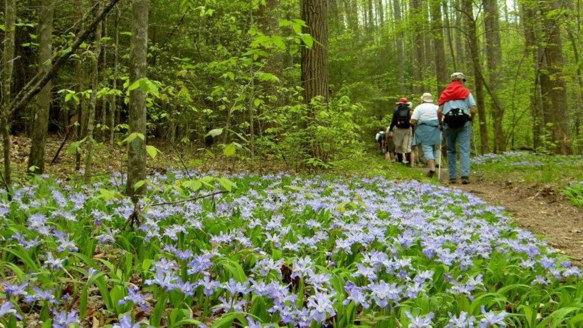
848 miles of maintained trail across 150 individual trails, ranging from flat paved 0.5-mile loops to strenuous multi-day backcountry routes along the Appalachian Trail. 74 miles of the Appalachian Trail run through the park.
Easy trails accessible from Gatlinburg:
Laurel Falls Trail — 2.6 miles round trip, paved, gaining 314 feet. Leads to the most visited waterfall in the park — a 75-foot two-tiered cascade. Trailhead off Little River Road. $5 parking tag required. Busy on weekends — arrive early.
Alum Cave Trail (to Arch Rock) — 4.4 miles round trip to the Alum Cave Bluffs, gaining 1,200 feet. One of the most popular and most rewarding moderate hikes in the park — passes through an old-growth forest before opening to the distinctive bluffs with overhang shelter. The trail continues steeply to Mt. LeConte for experienced hikers.
Gatlinburg Trail — 1.9 miles one-way, mostly flat along the West Prong of the Little Pigeon River from Sugarlands Visitor Center toward Gatlinburg. One of only two trails in the park where dogs on leash are permitted.
Accessible from Cades Cove:
Abrams Falls Trail — 5 miles round trip, gaining 340 feet. Leads to a 20-foot waterfall with a large pool — one of the most popular moderate hikes in the park. Note: despite the modest elevation gain, the trail is rocky and requires sure footing throughout.
Consult nps.gov/grsm for current trail closures before hiking — several trails remain closed or restricted following Hurricane Helene damage on the North Carolina side.
Picnic Areas
11 picnic areas with a total of 1,050 sites throughout the park — most with tables, grills, and restrooms. Some close seasonally in winter; four remain open year-round:
Metcalf Bottoms — Along the Little River, ideal for riverside picnicking. Tables directly adjacent to the stream for the best water-access picnic experience in the park.
Cades Cove — Inside the loop road, with wildlife viewing from the picnic area on good days. The most scenic picnic location in the park for open-meadow and mountain views.
Deep Creek — Near Bryson City, NC. Access to tube rentals on Deep Creek and three waterfall day hikes within easy walking distance of the picnic area.
Greenbrier — Along the Middle Prong of the Little Pigeon River, approximately 6 miles east of Gatlinburg. A quieter, less-visited alternative to the main corridor picnic areas.
Campgrounds
10 frontcountry campgrounds with approximately 1,000 total sites. Reservations required at most campgrounds — book at recreation.gov well in advance for peak season (May through October). Some sites are first-come, first-served outside peak season. Elkmont, Smokemont, and Cades Cove are the largest and most popular — book months ahead for summer and fall weekends.
Backcountry camping requires a permit from a ranger station and must be booked at the designated backcountry campsites or shelters. More than 100 backcountry sites and shelters are distributed throughout the park's interior.
Ranger Stations
Ranger stations — smaller than visitor centers — are distributed throughout the park at key trailheads and road junctions. Rangers provide directions, permit information, emergency services, and current trail conditions. If venturing into remote areas of the park, note the location of the nearest station before leaving the trailhead.
Staying Near the Park
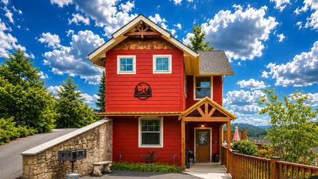
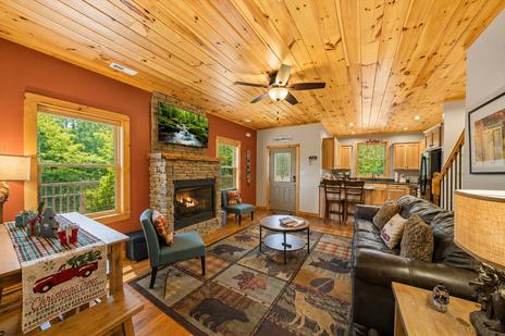
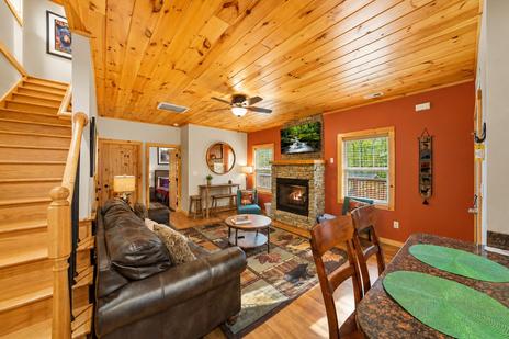
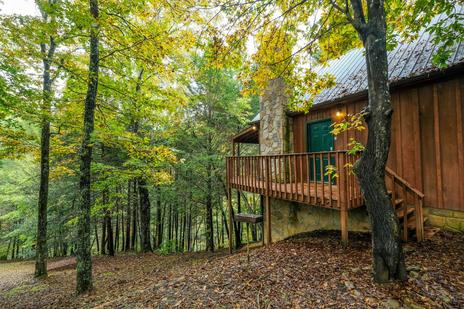
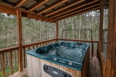
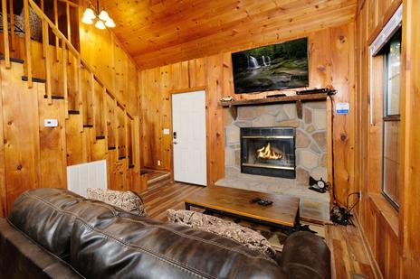
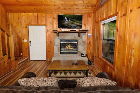
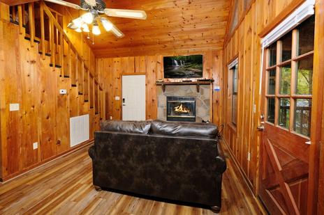
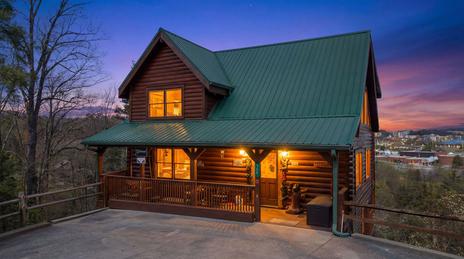
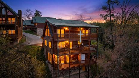
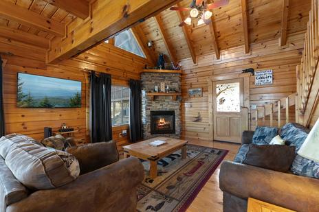
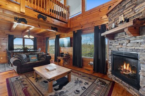
Every Colonial Properties cabin in Gatlinburg and Pigeon Forge is within 10–25 minutes of the national park's main Tennessee entrances. The Stay & Play Pass included with every direct booking provides one complimentary attraction ticket per paid night at Dollywood, Ripley's Aquarium, and 20+ other Smoky Mountain destinations — the park-adjacent attractions that round out the trip on non-hiking days. Browse cabins near the national park →
Frequently asked questions
Is Great Smoky Mountains National Park free to enter?
Yes — no vehicle entry fee. A $5 daily parking tag is required for vehicles parked more than 15 minutes at any developed facility. Purchase at recreation.gov, visitor centers, or trailhead kiosks.
How many trails does Great Smoky Mountains National Park have?
848 miles of maintained trail across 150 trails, ranging from easy paved walks to strenuous multi-day backcountry routes. 74 miles of the Appalachian Trail pass through the park.
When is Cades Cove closed to vehicles?
Wednesday mornings all day from May through September — reserved for cyclists and pedestrians only. The loop is open to vehicles all other times.
When is Kuwohi (Clingmans Dome) Road open?
April 1 through November 30. The road closes December 1 through March 31 each year. Check nps.gov/grsm for current status and any additional closures.
Are dogs allowed on trails in Great Smoky Mountains National Park?
Dogs on leash are permitted on only two trails in the park: the Gatlinburg Trail and the Oconaluftee River Trail. Dogs are not permitted on any other trails, in backcountry areas, or in park buildings.
The national park is 10–20 minutes from most Colonial Properties cabin rentals in Gatlinburg and Pigeon Forge. Book direct for the Stay & Play Pass and best available rate.