Philadelphia to the Smokies: The Complete Road Trip Guide
Published Nov 13, 2026
The drive from Philadelphia to the Smoky Mountains is one of the great East Coast road trips — a straight shot down the spine of the Appalachians that trades the Northeast corridor's traffic for the long green valleys of Virginia and the mountains of East Tennessee. It's a full day behind the wheel, but it's a scenic and surprisingly easy one, and with the right stops it becomes part of the vacation rather than just the way to get there. Here's the complete guide to making the run from Philadelphia to Gatlinburg and Pigeon Forge.
The whole trip runs roughly six hundred miles and about nine to ten hours of driving, which most families split into one long day or a relaxed two-day drive with an overnight in Virginia. Either way, the route is simple to follow.
The route in brief
The heart of this trip is Interstate 81, which runs the length of Virginia's Shenandoah Valley and carries you almost the entire way. From Philadelphia you'll drop southwest across the bottom of Pennsylvania, pick up I-81 and follow it down through Virginia, cross into the top of Tennessee, and connect to Interstate 40 for the final stretch toward Sevierville, Pigeon Forge, and Gatlinburg. It's one highway for the bulk of the drive, with mountains on both sides most of the way — a route that's as pleasant to look at as it is easy to navigate.
Breaking up the drive: where to stop
The Shenandoah Valley, Virginia
The long middle of the trip is also its prettiest. The Shenandoah Valley unrolls between two mountain ranges, and the towns strung along I-81 make natural stops — college towns, historic valley communities, and plenty of places to stretch, eat, and fuel up with a view. If you're splitting the drive into two days, somewhere in the valley is the logical overnight, leaving a shorter, easy second day into the Smokies.
The Roanoke area
Roughly the midpoint region of the trip, the Roanoke area is a good target for a meal or a leg-stretch, with the Blue Ridge rising around it. It's a natural "we're halfway" marker and a pleasant place to break up the miles.
Bristol, at the Tennessee line
As I-81 nears its end, you'll reach Bristol, straddling the Virginia–Tennessee border — a fun, quirky stop known for its music heritage and its state-line main street. Crossing into Tennessee here means you're on the home stretch, with the final run down toward the Smokies ahead.
The final stretch into the mountains
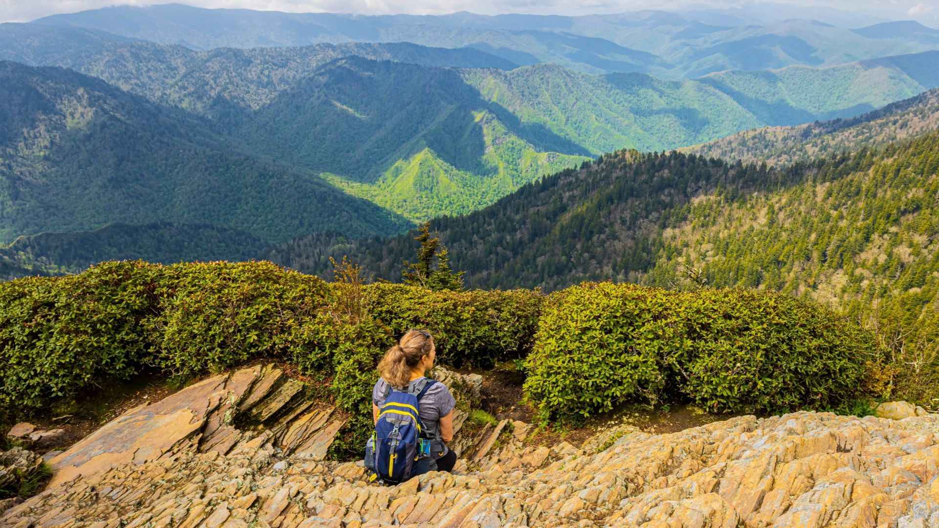
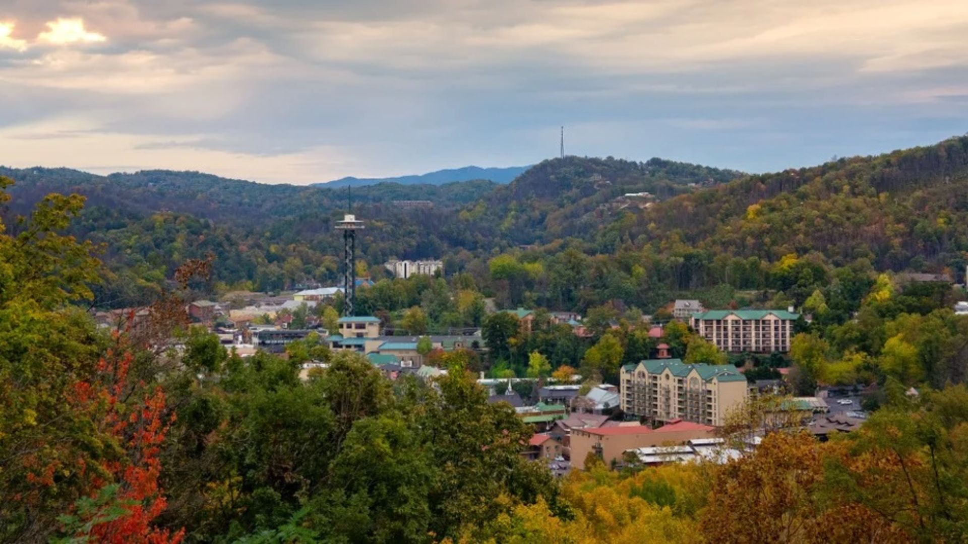
From Bristol, you'll continue southwest and connect toward Interstate 40 and the Sevierville–Pigeon Forge–Gatlinburg corridor. This last leg is where the trip starts to feel like arrival: the terrain closes in, the mountains get bigger, and the brown national-park and attraction signs start appearing. Coming in from this direction, you'll pass through Sevierville first, then Pigeon Forge, then up toward Gatlinburg and the park — so your cabin's location shapes exactly where your drive ends.
Tips for the Philadelphia-to-Smokies drive
Leave early — a dawn departure from Philadelphia gets you through the first stretch before traffic and puts you at your cabin with daylight to spare, even on a one-day push.
Consider the two-day option — with kids or a dislike of marathon drives, an overnight in the Shenandoah Valley turns a long haul into two easy half-days and adds a bit of Virginia to the trip.
Fuel up in the valley — I-81 has plenty of services, but the stretches between the bigger towns can be long, so top off when you're near one rather than running it down.
Time your arrival — aim to reach the Pigeon Forge–Gatlinburg area outside the busiest evening hours if you can; the Parkway can slow down at peak times, and arriving relaxed beats arriving in a crawl.
Check your cabin's check-in details — know your arrival instructions before the last leg, so a long drive ends with an easy, smooth check-in rather than a scramble.
Frequently asked questions
How long is the drive from Philadelphia to the Smokies?
Roughly nine to ten hours and about six hundred miles to the Gatlinburg and Pigeon Forge area. Most travelers do it as one long day or split it into a relaxed two-day drive with an overnight in Virginia's Shenandoah Valley.
What's the best route?
Southwest out of Philadelphia to Interstate 81, down the length of Virginia's Shenandoah Valley, into Tennessee near Bristol, then connecting to Interstate 40 toward Sevierville, Pigeon Forge, and Gatlinburg. It's largely one highway, which makes it simple to follow.
Should I drive it in one day or two?
Either works. A single long day is very doable with an early start; a two-day drive with an overnight in the Shenandoah Valley is easier with children or if you'd rather not spend ten hours in the car at once — and it lets you enjoy a bit of Virginia along the way.
What are the best stops along the way?
The Shenandoah Valley towns of Virginia, the Roanoke area around the midpoint, and Bristol at the Tennessee state line are the natural breaks — all scenic, easy on-and-off-the-highway stops for food, fuel, and a stretch.
Is the drive scenic?
Very. Most of it runs through the Appalachian valleys with mountains on both sides, and the Shenandoah Valley stretch is one of the prettiest interstate drives in the East. It's a road trip worth enjoying, not just enduring.
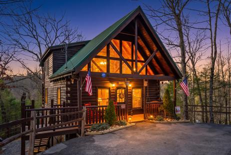
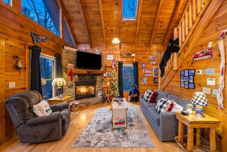
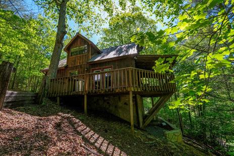
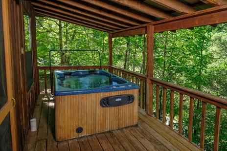
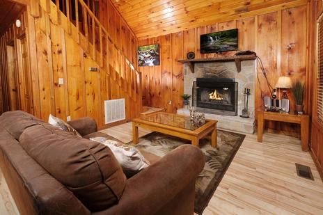
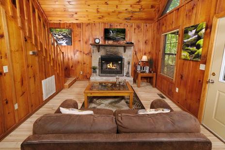
After a long drive down the valley, the best arrival is a cabin that's ready and waiting. Find a Smoky Mountain cabin for your trip from Philadelphia — near the Gatlinburg side or closer to Pigeon Forge — and let the road trip be the start of the vacation.